


Code: E27182-93
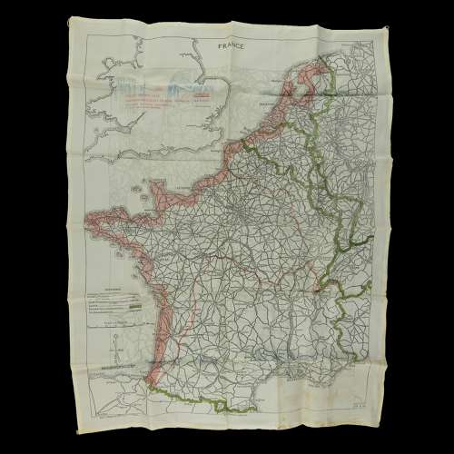
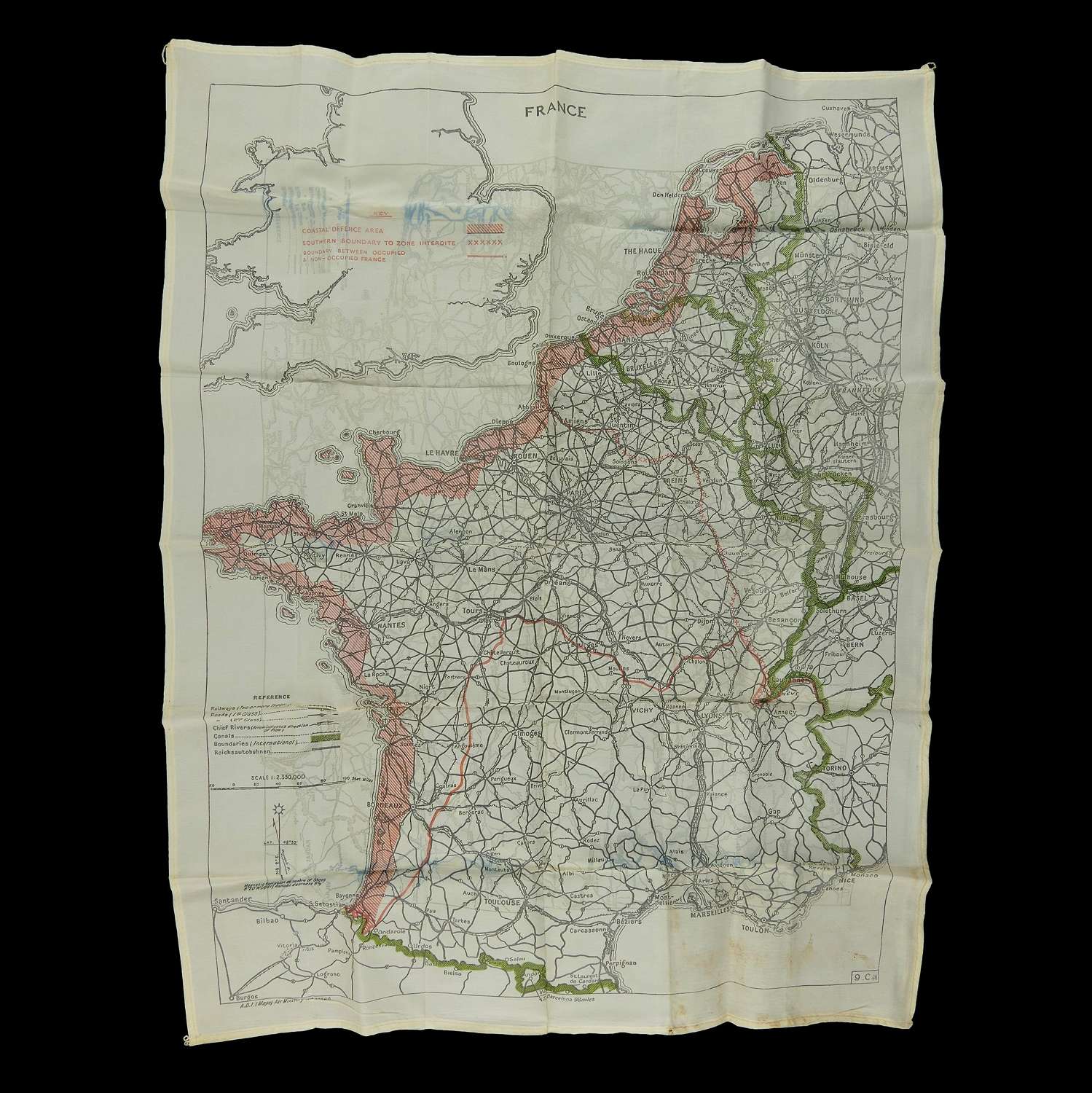
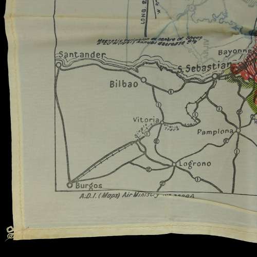
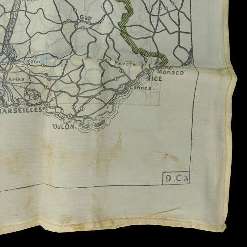
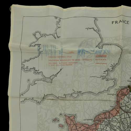
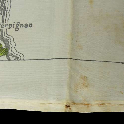
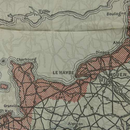
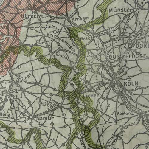
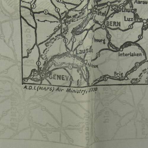
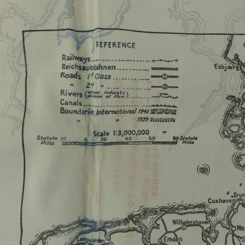
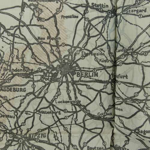
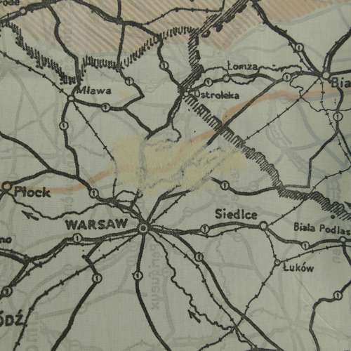
Sheet 9.C.(a) / 9U/. Double sided black and white map with colour boundaries and major routes. Silk/rayon, approximately 58 x 46cm. 1 : 2,350,000. 9.C.(a) covers France and is highlighted on the coastal defence area, the boundary between occupied and non-occupied France etc. An outline of England & Wales features in the upper right corner. The reverse, sheet 9U, is a black and white silk/rayon escape map, scale 1 : 3000,000. It covers parts of Holland, Germany, Switzerland, Poland, Austria, Russia and their boundaries up to 1941. Hemmed edges. Air Ministry marked (most escape maps are not A.M. marked). Folded/creased with light soiling and a tiny hole in one edge, otherwise in very good '+' condition. A lovely early map. Stock code E27183-93.