Code: P16305
Dimensions:
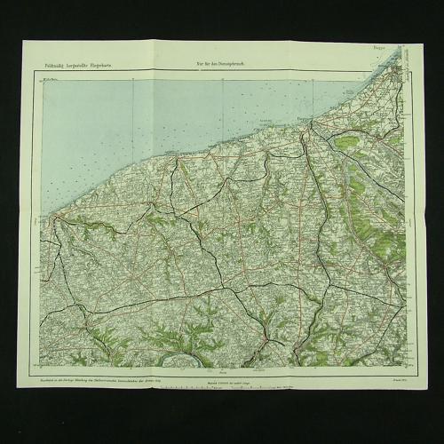
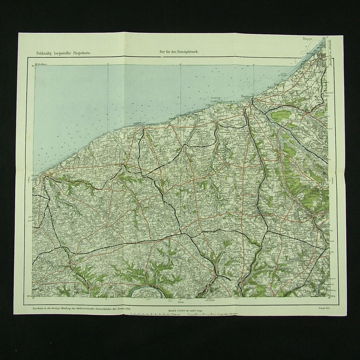
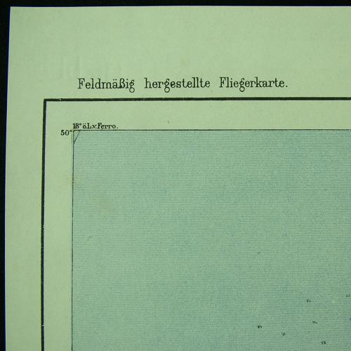
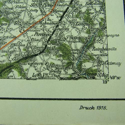
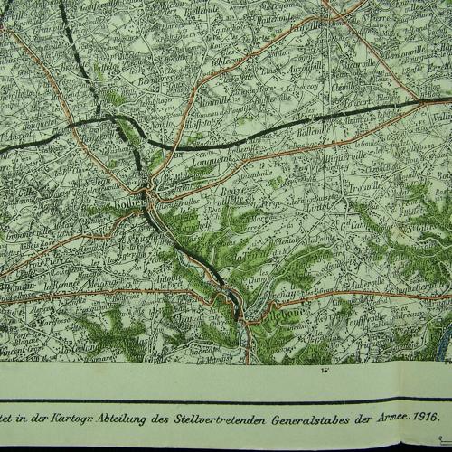
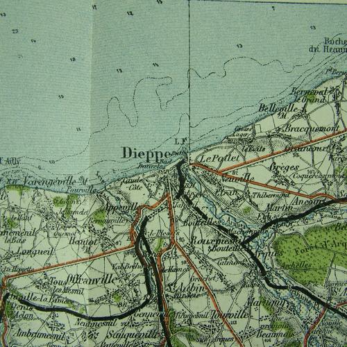
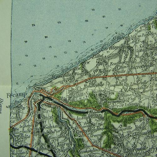
Rare original 'Fliegerkarte' printed in colour on paper, approximately 40 x 34cm. 1 : 200 000. 1916 dated (1918 reprint). Map of the coastline near Dieppe & St. Valery in France. Prepared by the Department of Deputy General Staff of the Army. Excellent condition. Folded. Stock code P16035.