Code: P16034
Dimensions:
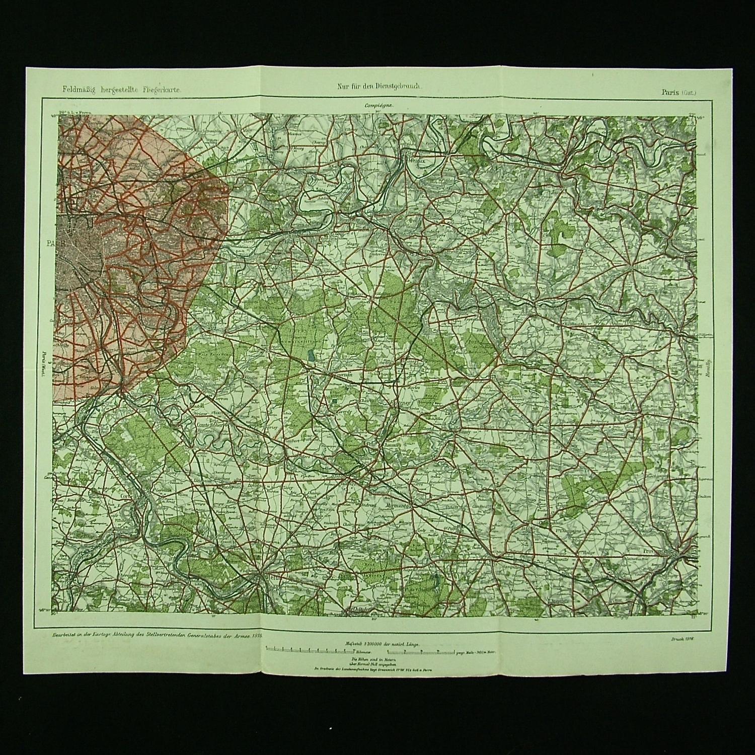
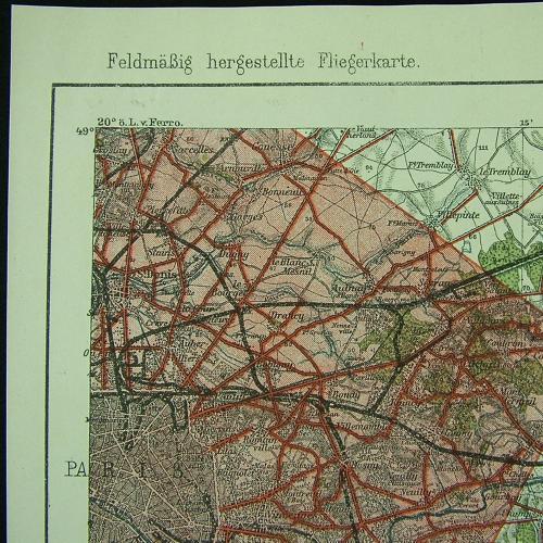
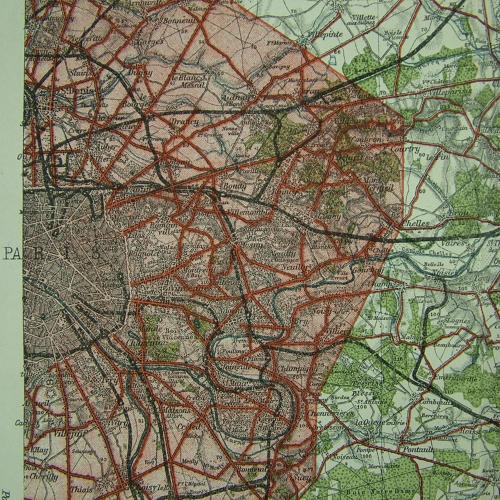
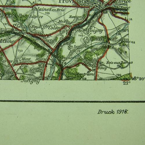
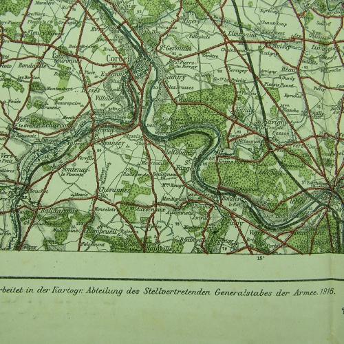
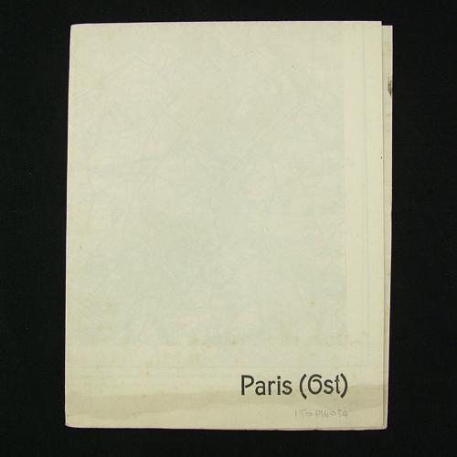
Rare original 'Fliegerkarte' printed in colour on paper, approximately 40 x 34cm. 1 : 200 000. 1916 dated (1918 reprint). Map of the Eastern Paris and area beyond the city. Prepared by the Department of Deputy General Staff of the Army. Excellent condition. Folded. Stock code P16034.
