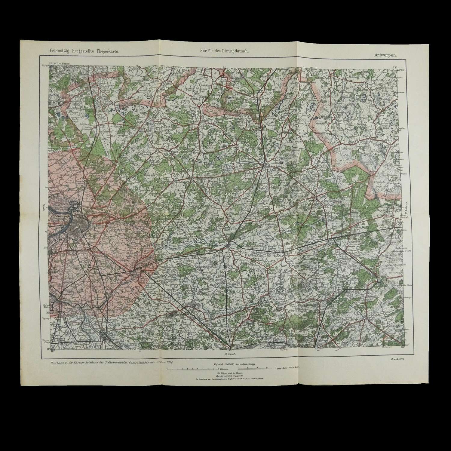
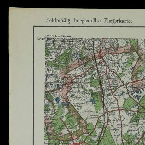
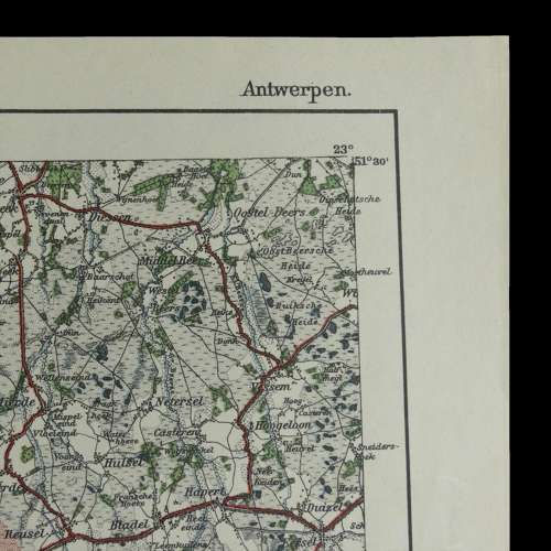
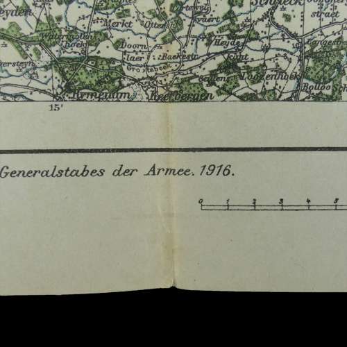
Code: P16036
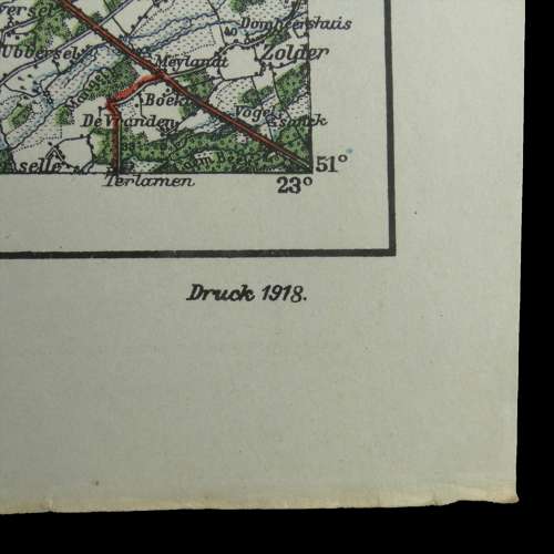
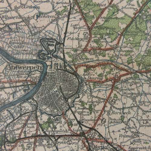
'Feldmassig hergestellte Fliegerkarte'. WW1 period field produced flight map of Antwerp. Produced by the Department of the Deputy General Staff of the Army, 1916 for the use of the Imperial German Airforce. Printed 1918. Scale 1 : 200,000. Approximately 40 x 34cm. Printed in colour on thick paper. Folded. Excellent condition. Stock code P16036.
