


Code: P20925
Dimensions:
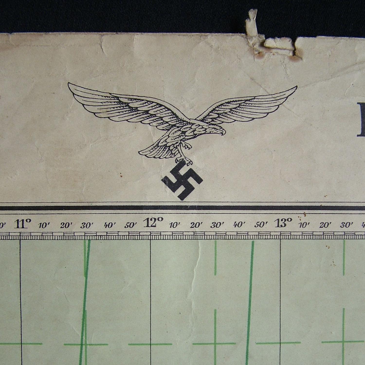
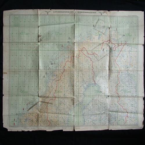
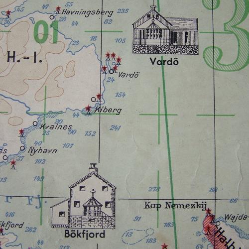
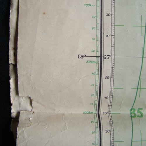
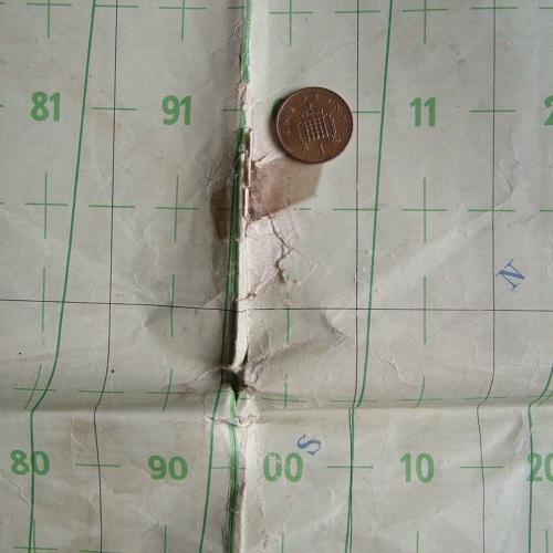
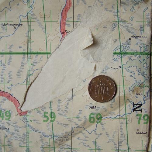
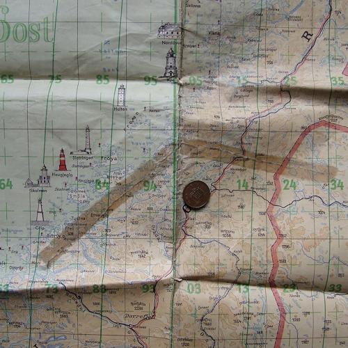
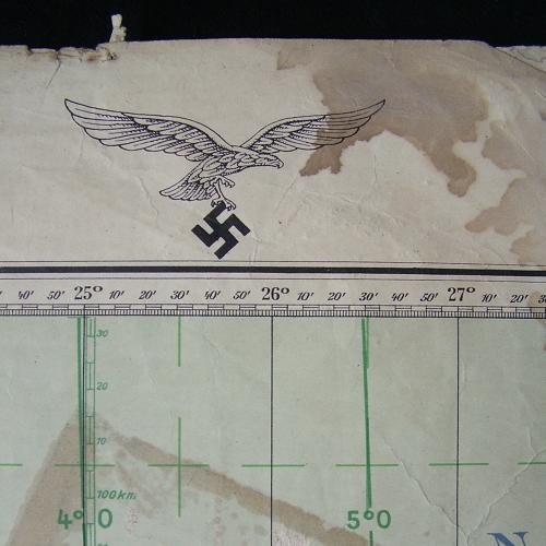
Luftnavigationskarte. Sheet Nr. 2601 - Nordskandinavien (Northern Scandinavia). Scale 1 : 2000 000. Approximately 125 x 108cm. Dated 15th December 1942. Huge Luftwaffe flight map covering Norway, areas of Sweden and Finland. Illustrated with lighthouses along the coastline. With large Luftwaffe eagles/swastikas along upper edge. The map is soiled, has been folded/creased and has numerous small edge tears with some paper loss. Also has some damage along the creases and has paper applied to the rear where there is some surface damage (see photographs). A bit tatty but still an impressive large display piece. Stock code P20925.
