

Code: P27183-5
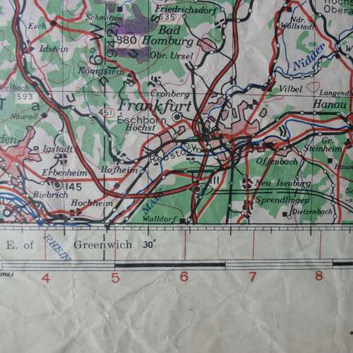
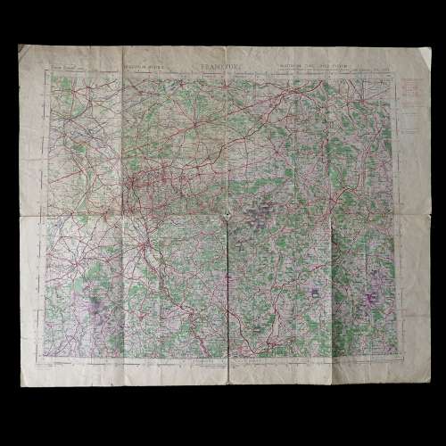
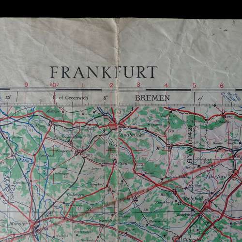
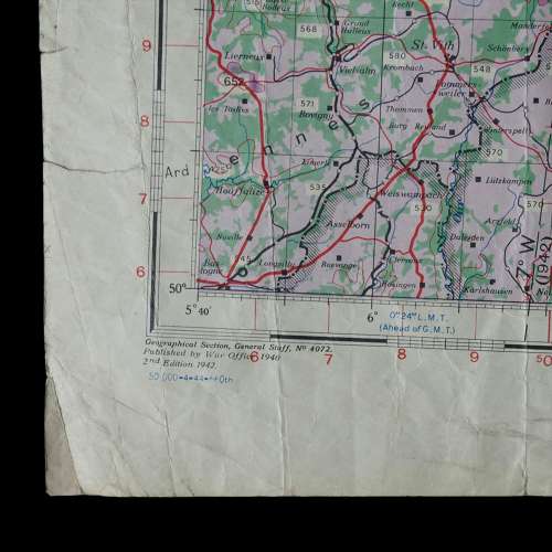
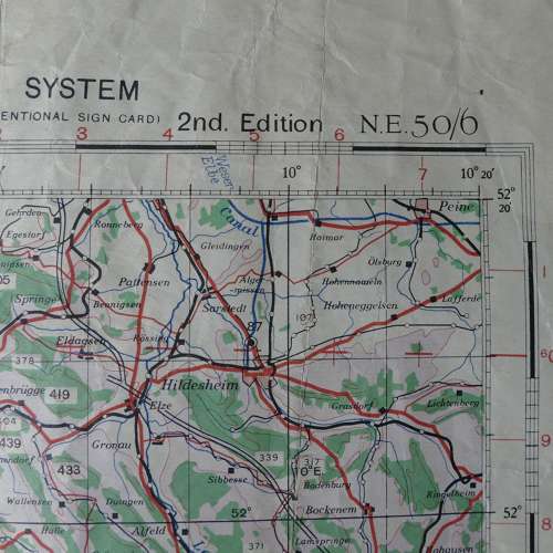
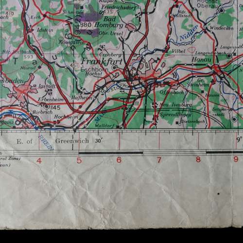
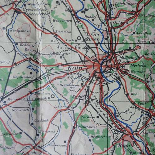
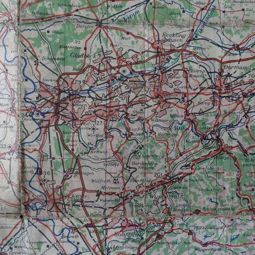
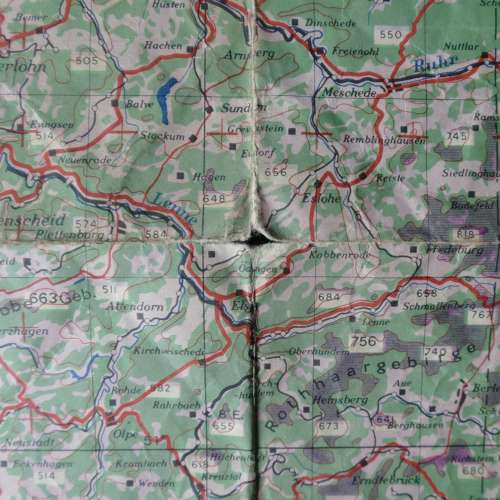
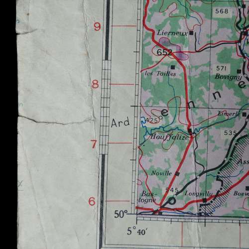
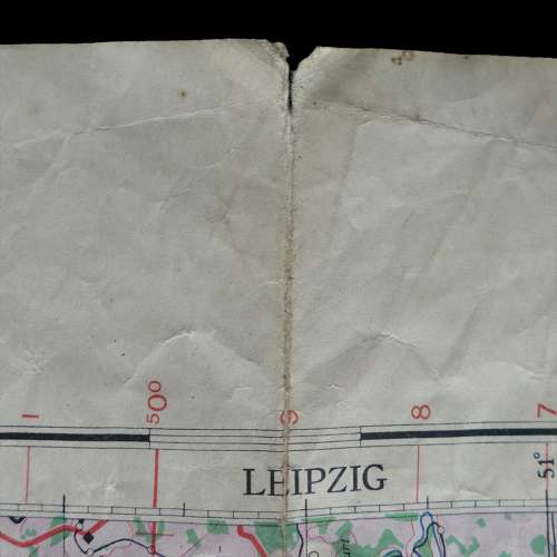
Sheet N.E.50/6, 2nd edition. 1:500,000 Europe (Air). Paper. Approximately 77 x 64cm. 1944 dated. Marked with period air bases in this area during WW2. This map covers some major German cities including Frankfurt, Koln & Dortmund. Folded/creased. Shows heavy wear/use but is sound. Marked with flight routes in chinagraph pencil. Reasonable used condition. Stock code P27183-5.