
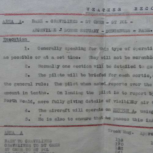
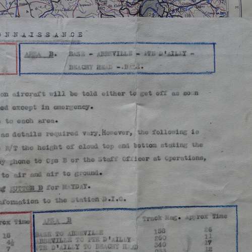
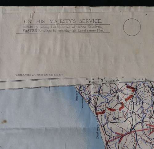
Code: P339
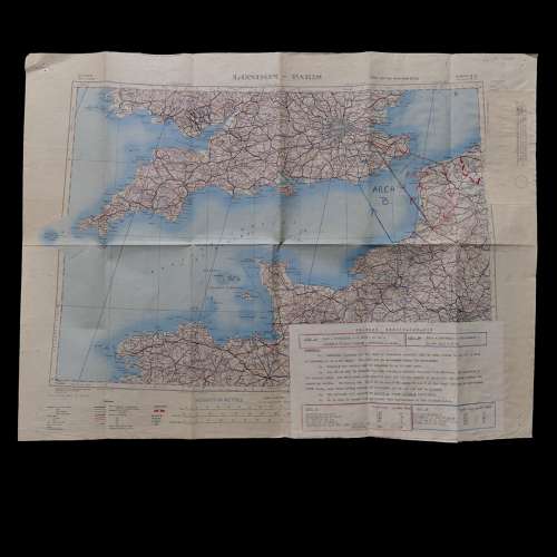
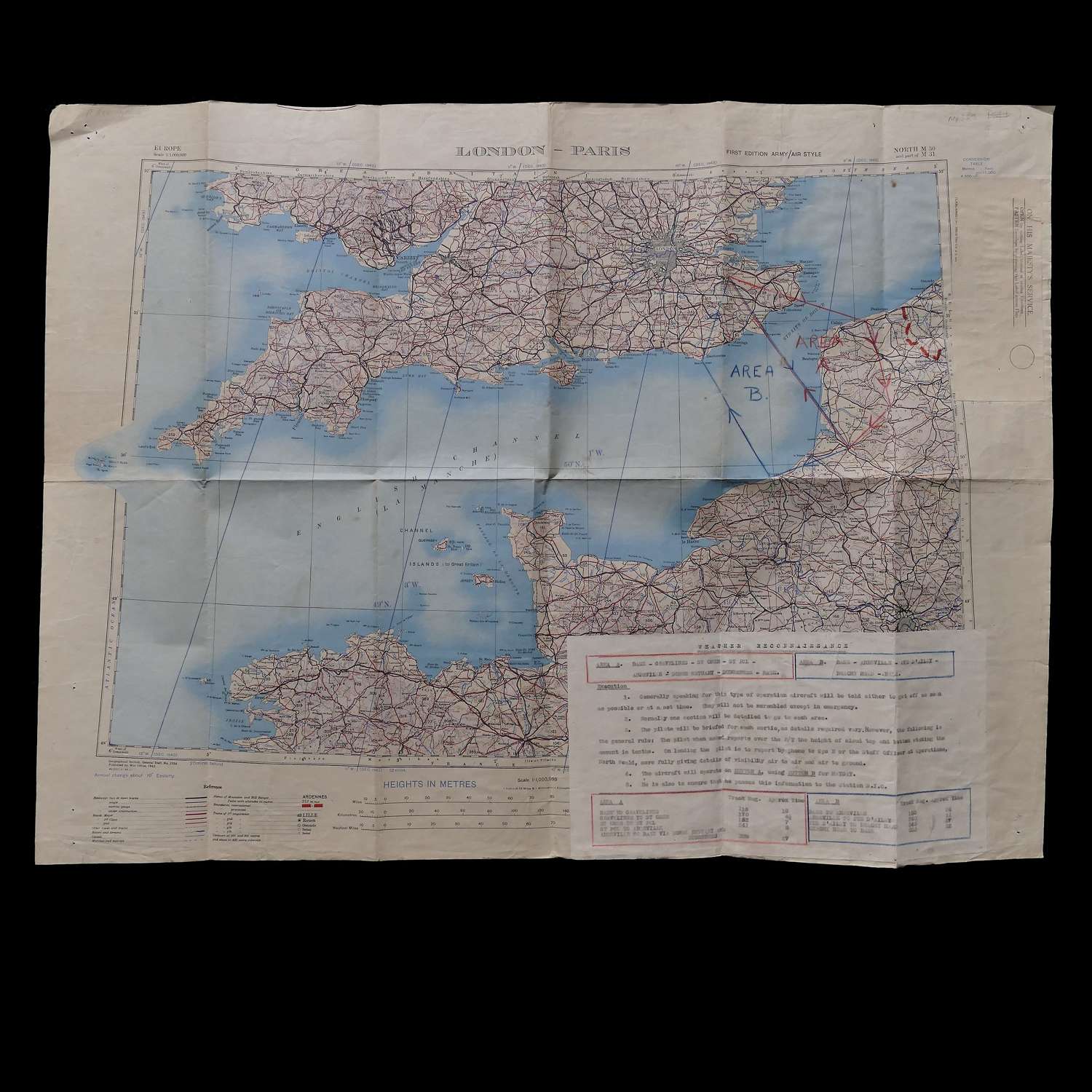
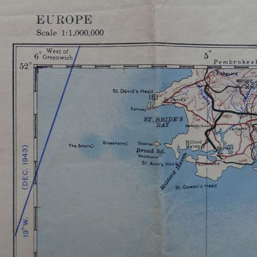
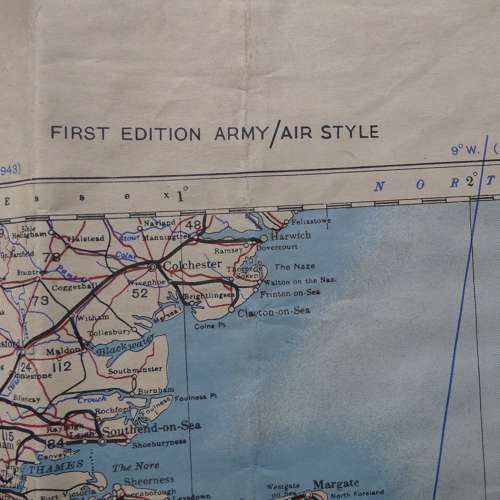
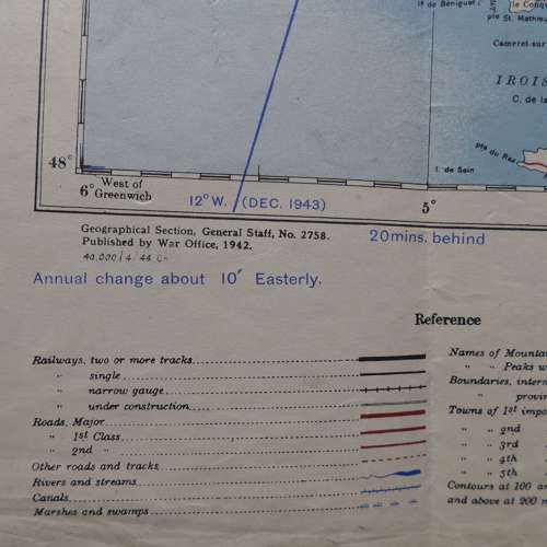
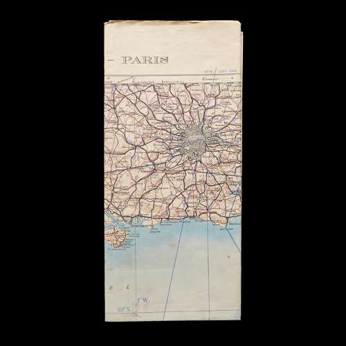
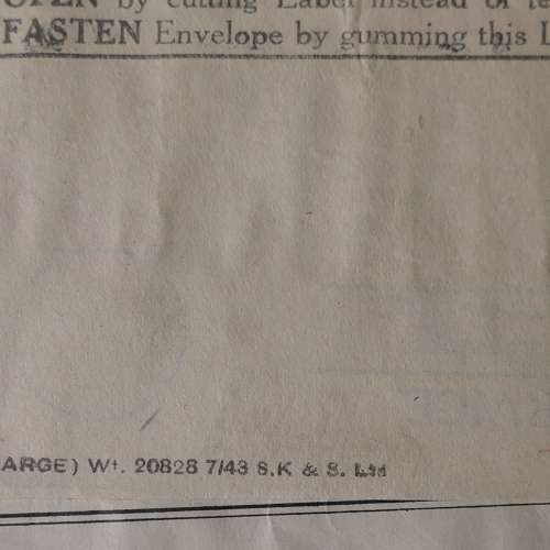
Sheet North M30 and part of M31, 1st edition Army/Air Style map. 1:500,000 Europe. Paper. Approximately 79 x 59cm. April 1944 dated. Marked with two weather reconnaissance flight routes from Maidstone, Kent, across the Channel to Abbeville (a well known Luftwaffe base during the war) in France and back. The map also has a information sheet glued in place. This provides the route to be taken and states what weather details the pilot will be asked to report back via R/T such as height of cloud, visibility etc. It also states that 'Generally speaking for this type of operation aircraft will be told to either get off as soon as possible or at a set time. They will not be scrambled except in an emergency.' There is an OHMS label glued on right edge. Folded/creased. Some light soiling and marks. This map belonged to pilot Peter Rae who flew Spitfires, Hurricanes and Mustangs. We purchased a large quantity of kit and paperwork directly from him over 25 years ago and this has just come to light. It is rare to find used reconnaissance maps. Very good used overall. Stock code P339.