Code: P17045
Dimensions:
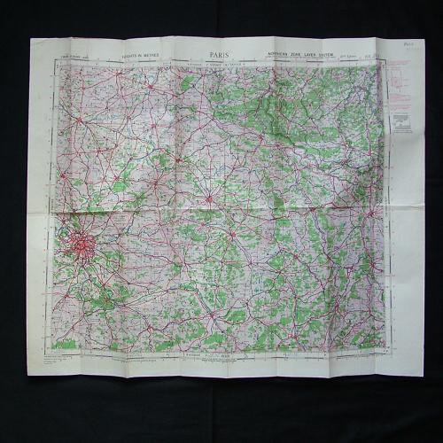
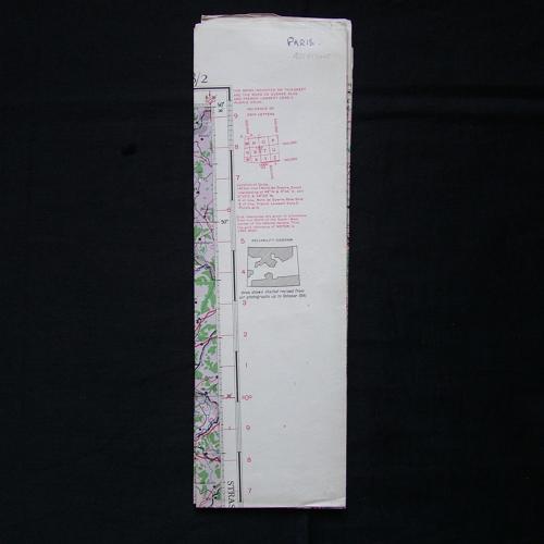
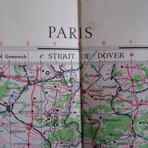
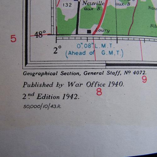
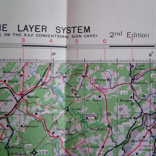
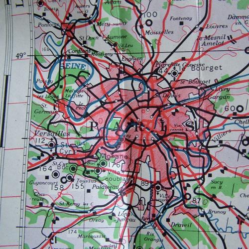
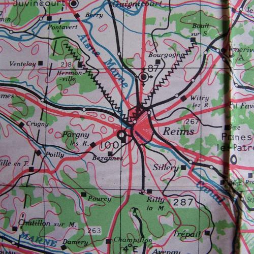
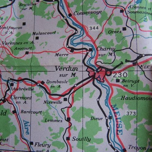
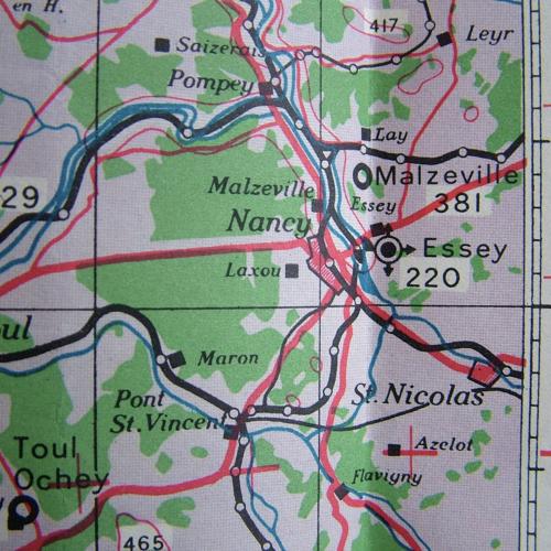
Sheet N.E.48/2, 2nd edition. 1 : 500,000 Europe (Air). Southern Zone Layer System. Paper. Approximately 75 x 62cm. 1943 dated. Marked with period air bases in this area during WW2. Folded/creased with dog-eared corners. Some soiling and marks. Good used overall. Stock code P17045.