

Code: P17038
Dimensions:
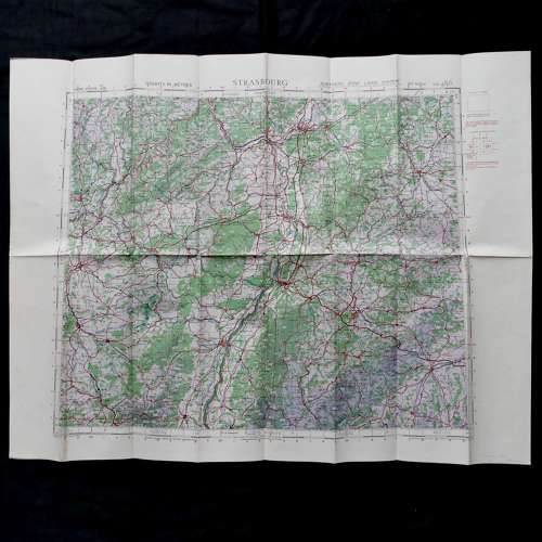
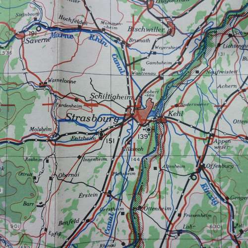
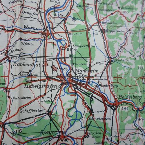
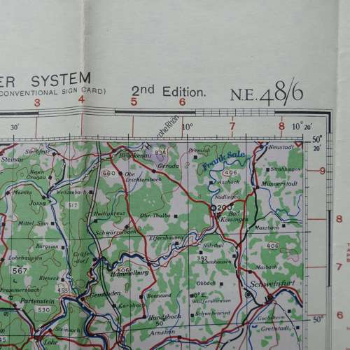
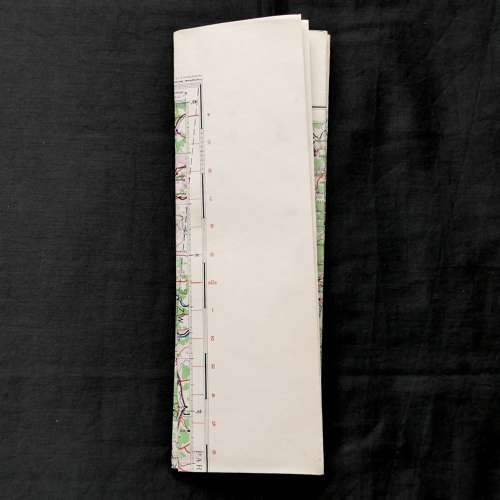
Sheet N.E.48/6, 2nd edition. 1:500,000 Europe (Air). Paper. Approximately 82 x 64cm. 1944 dated. Marked with period air bases in this area during WW2. This map covers some major German cities including Mannheim, Frankfurt & Stuttgart. Folded/creased. Some light soiling and marks. Very good used overall. Stock code P17038.