


Code: P25287
Dimensions:
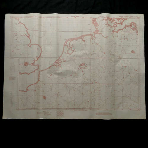
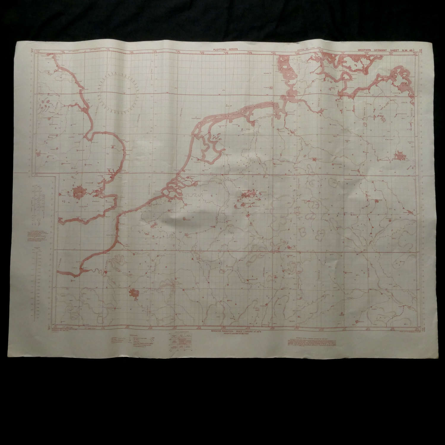
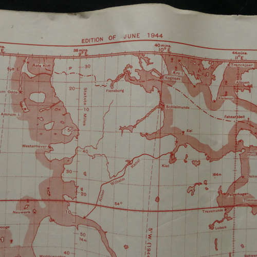
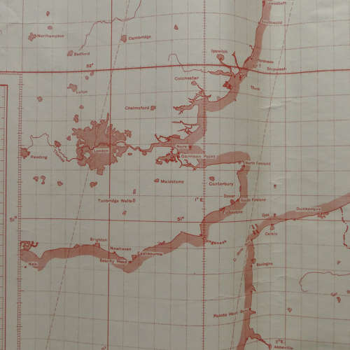
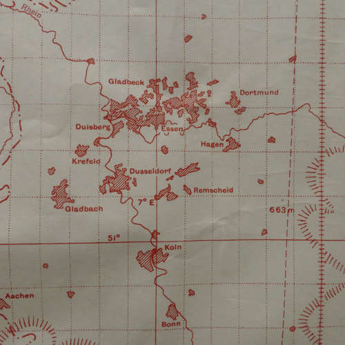
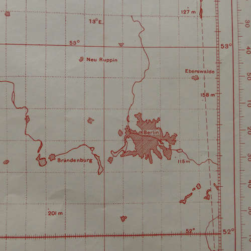
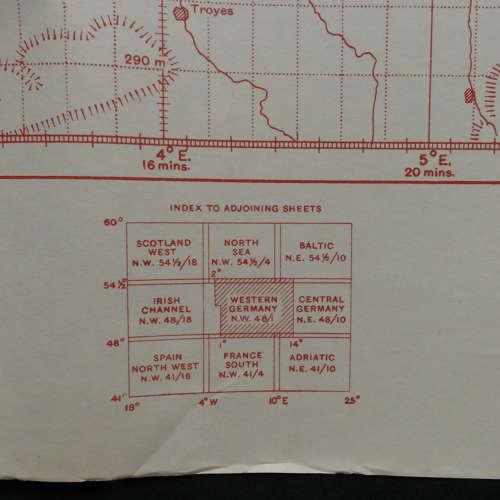
RAF Plotting Series Map, Sheet N.W. 48/1. Western Germany. Scale 1 : 1,000,000 at 56 degrees North. Printed on paper. Approximately 110 x 81cm. Drawn and heliographed at O.S. 1941, published by the War Office in 1941, this edition printed March 1945. Shows much of the coastline from South Eastern England up to Newcastle and parts of France, Belgium and Western Germany. A little dog eared at the edges/corners with some very minor tears but generally clean and in good condition. Will be sent folded unless otherwise requested (can be sent rolled at extra cost). These maps are popular and increasingly difficult to find. Stock code P25287/8/9.