Code: P27652
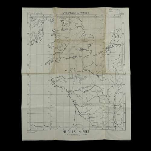
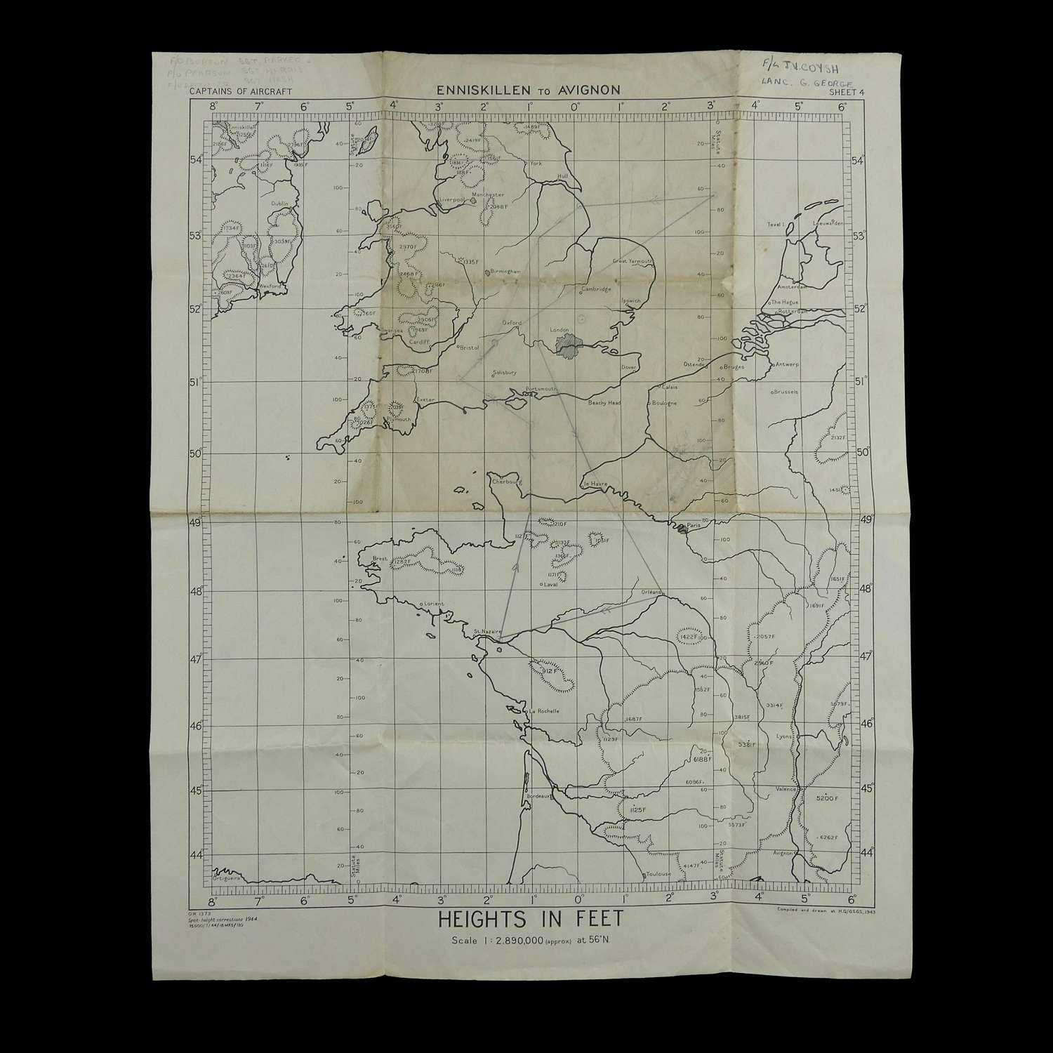
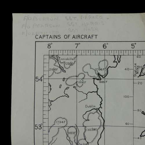
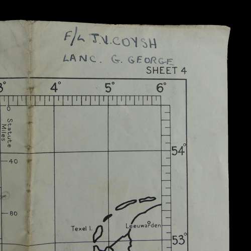
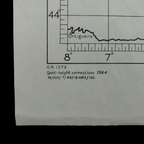
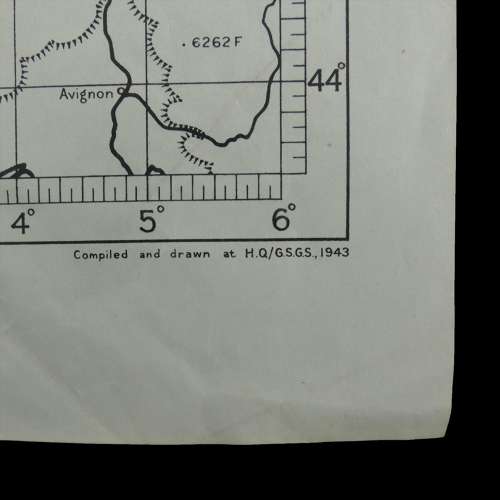
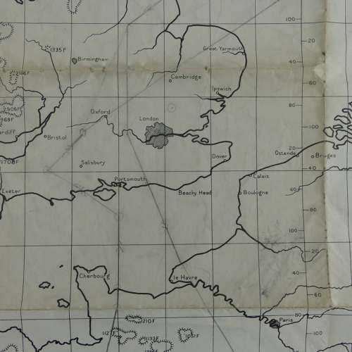
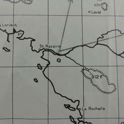
Sheet 4, Enniskillen To Avignon. 1944 dated. Printed on paper. Approximately 35 x 43.5cm. Shows parts of Ireland, Wales, much of England and parts of France, Belgium, Holland. Captain of Aircraft Maps are smaller than other route and plotting maps and were intended for use within the cockpit. They would have been marked up with details of the flight plan and salient features such as enemy airfields, flak batteries, target areas etc. This example is marked 'F/L J.V. Coyish, Lanc G. George' and has the names of the rest of the crew in pencil. It is marked with a flight plan that takes in St. Nazaire in France which served as a primary base of operations for the German U-Boat fleet. The map is folded and a little soiled but in good overall condition. Stock code P27652.