


Code: P24505
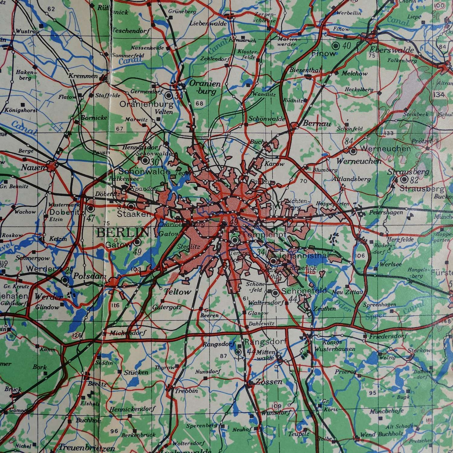
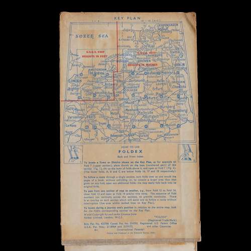
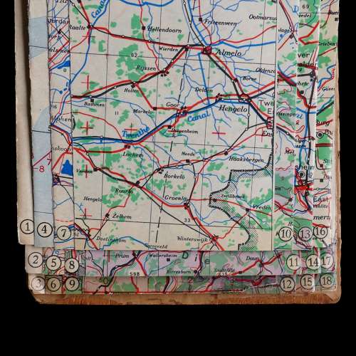
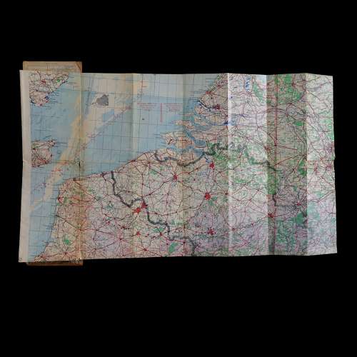
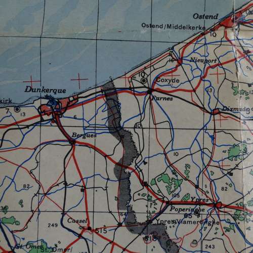
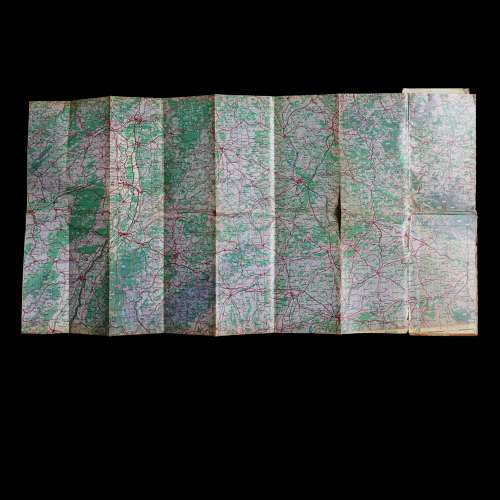
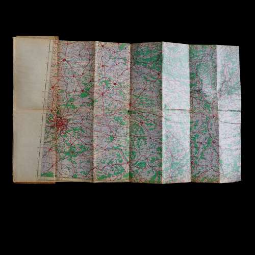
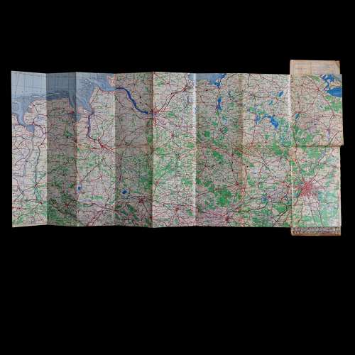
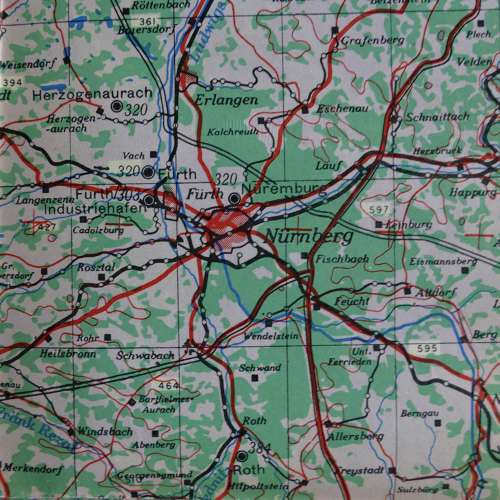
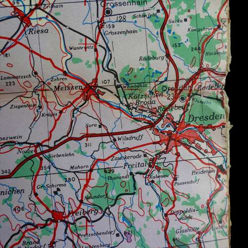
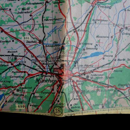
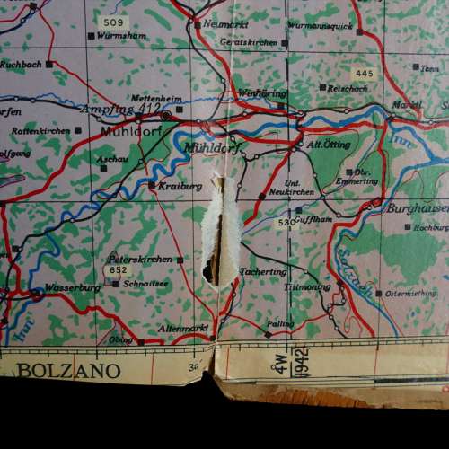
Code AF, Foldex No.1, Europe (Air). Produced by Foldex for the Directorate of Military Survey at the War Office. Dated March 1945. Board bound, approximately 15 x 26cm (closed), this clever map is actually three folded flight maps covering an area from the South East of England / London to Germany. Each of the double-sided maps covers a different section and fits with the next to allow for routes to be plotted. The maps are varnished so that chinagraph pencil can be used directly to the surface and subsequently erased with an ordinary rubber. The covers are soiled but in good order. The maps are generally very good but there is damage on some of the fold lines. Relatively scarce. Stock code P24505.
Media/Materials
Processed Material/Paper
Physical description
3 maps : colour ; 51 x 83 cm. folded to 16 x 27 cm.
