


Code: P22220
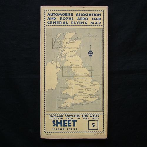
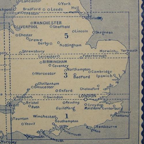
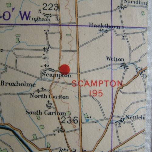
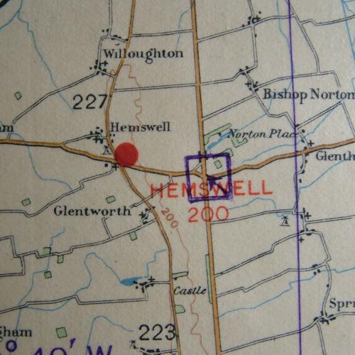
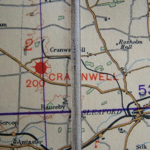
Pre-war Automobile Association and Royal Aero Club General Flying Map - England, Scotland And Wales, Second Series, Sheet 5. Quarter inch to one mile. July 1938 dated with small added sticker 'Local Magn. Variation 1938-9 +12'. Approximately 166 x 50cm when opened out. Huge hardbacked waterproofed linen backed map of the East Midlands, Shropshire, Liverpool, Manchester, Lincolnshire etc. A Civil Air Edition showing Civil aerodromes but also RAF aerodromes and landing grounds of the period including Hooton Park, Woodford, Doncaster, Hemswell, Scampton, Waddington, Ternhill, Woverhampton, Hucknall, Digby, Wittering, Marham etc. Excellent condition. Stock code P22220.