
Code: P22219
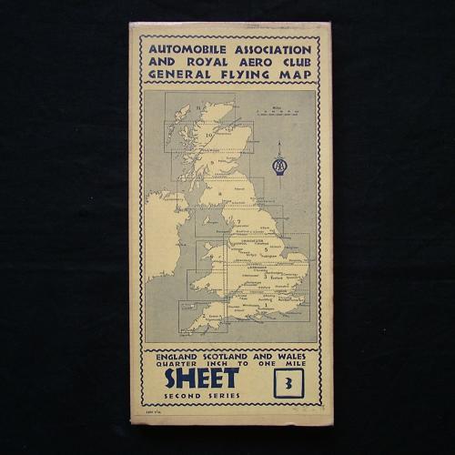
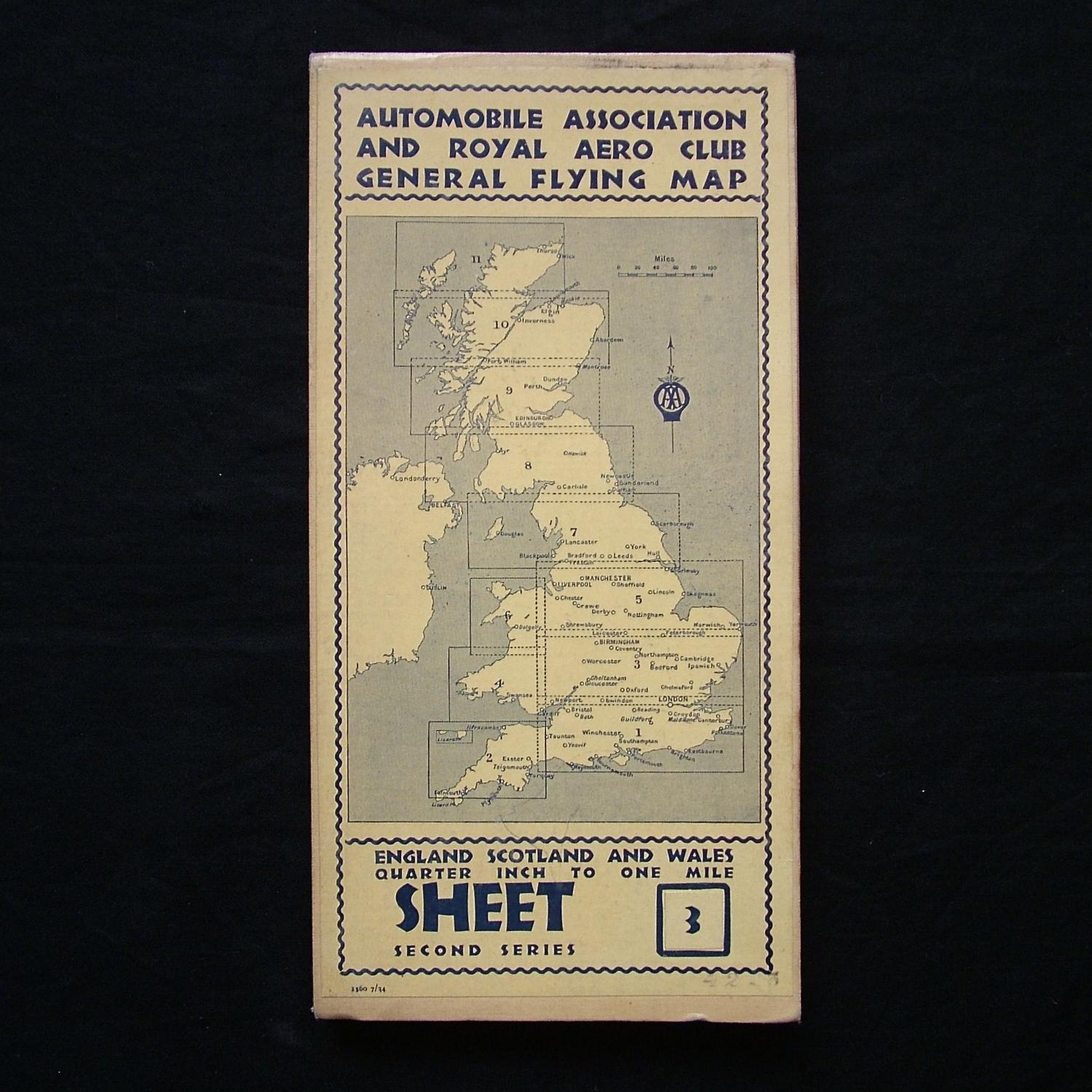
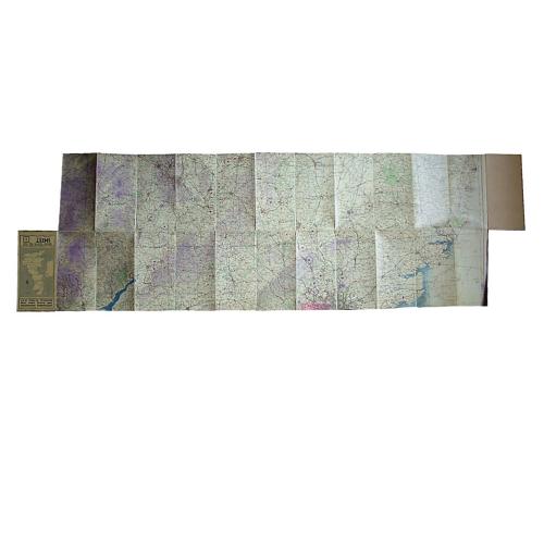
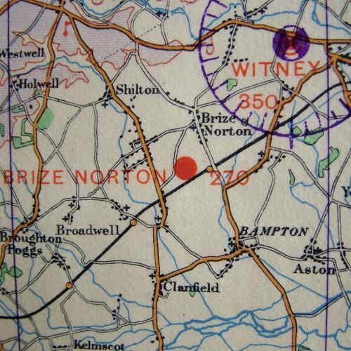
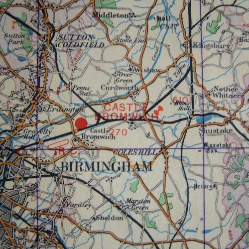
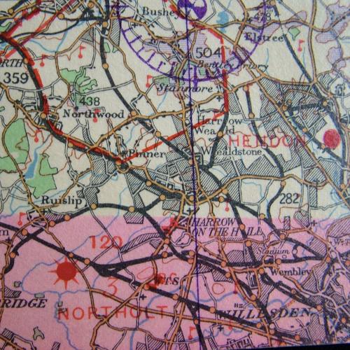
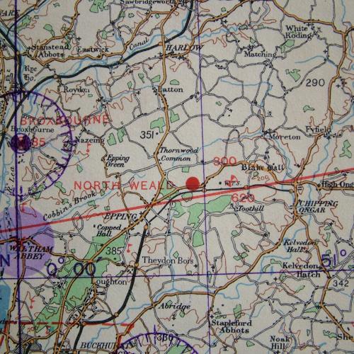
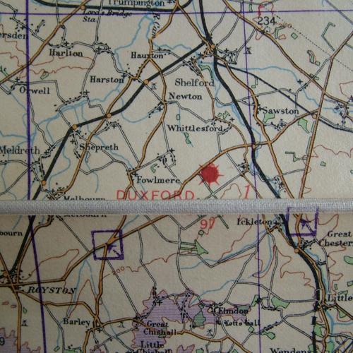
Pre-war Automobile Association and Royal Aero Club General Flying Map - England, Scotland And Wales, Second Series, Sheet 3. Quarter inch to one mile. July 1938 dated. Approximately 166 x 50cm when opened out. Huge hardbacked waterproofed linen backed map of the West Midlands, Bedfordshire, Cambridgeshire, Worcestershire, Oxfordshire etc. A Civil Air Edition showing Civil aerodromes but also RAF aerodromes and landing grounds of the period including Wolverhampton, Pershore, Castle Bromwich, Desford, Sywell, Wittering, Cardington, Mildenhall, Duxford, South Cerney, Brize Norton, Halton, Cranfield, Debden, North Weald, Hendon, Hornchurch etc. Excellent condition. Stock code P22219.