Code: P-ECN
Dimensions:
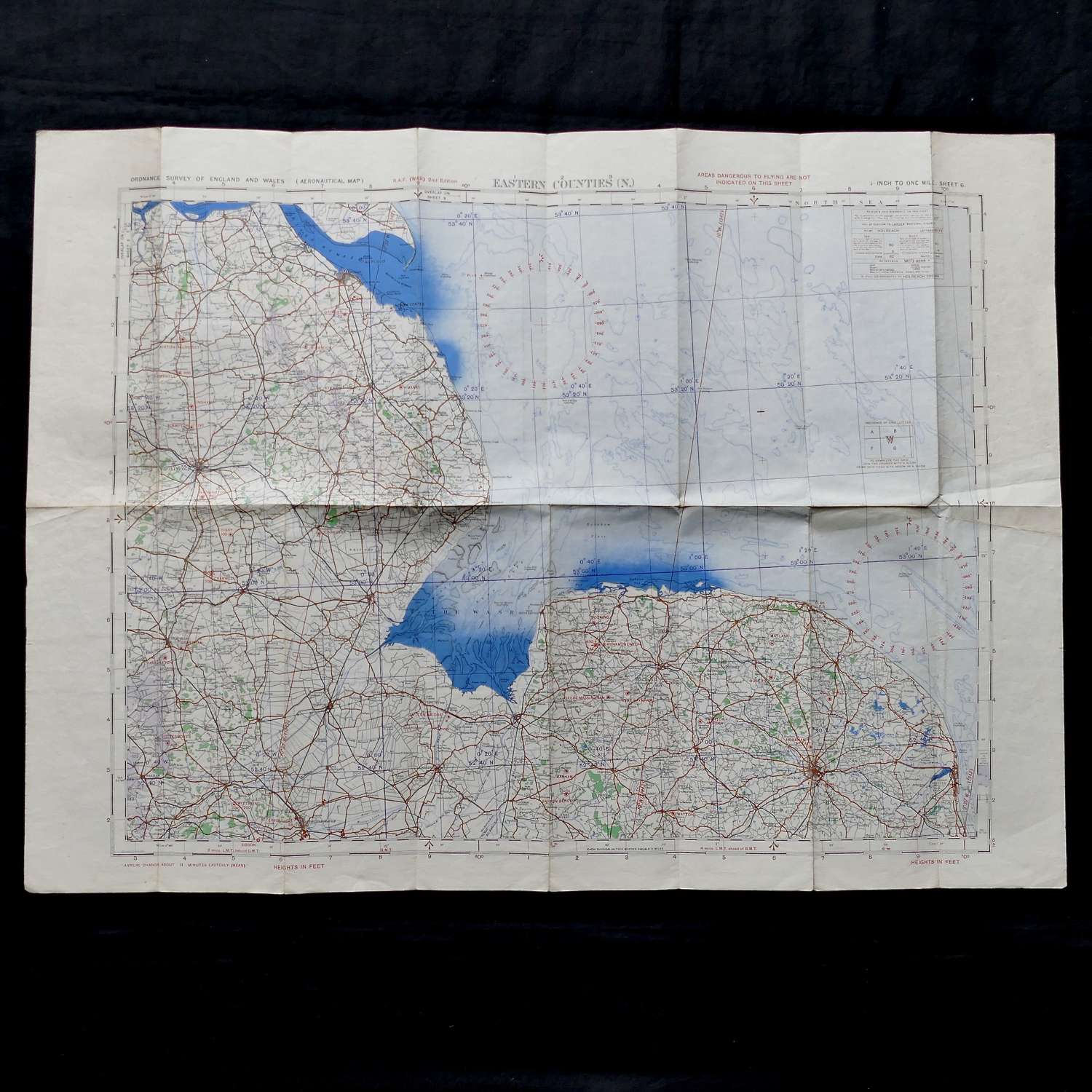
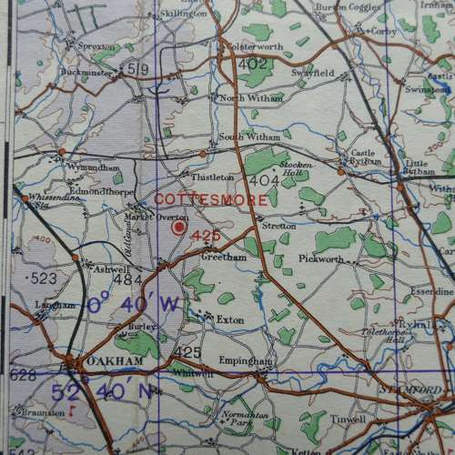
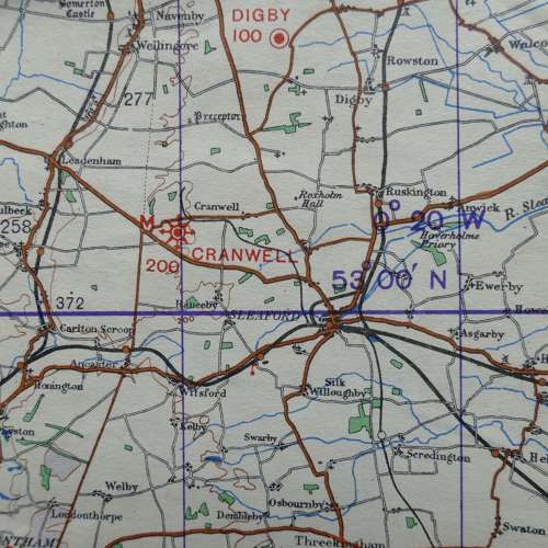
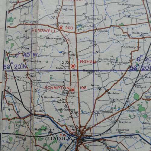
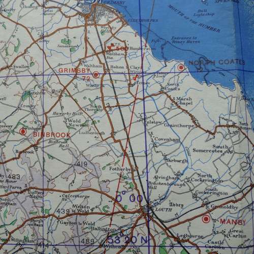
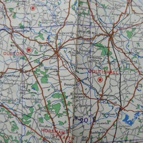
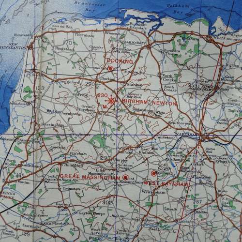
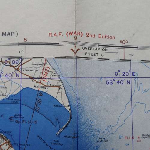
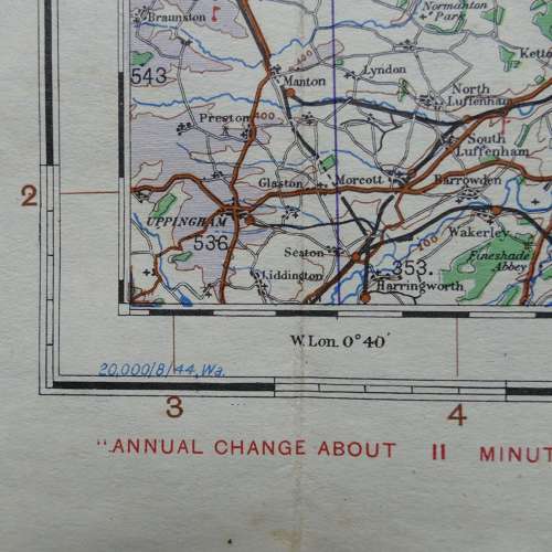
England, Eastern Counties (North), Sheet 6, R.A.F. (WAR) 2nd Edition dated 8/44. 1/4" to one mile. Paper. Approximately 83 x 60cm. Shows wartime air bases operational at the time including Wittering, Cottesmore, Cranwell, Watton, Coningsby, Waddington, Scampton (home of 617 Squadron Dam Busters), Binbrook, Coltishall etc. Folded and creased. Some minor wear/damage on the fold lines and grubby in places but in fairly good condition overall. Stock code P-ECN.
