Code: P17026
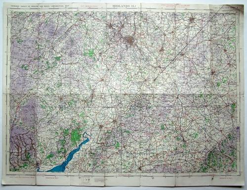
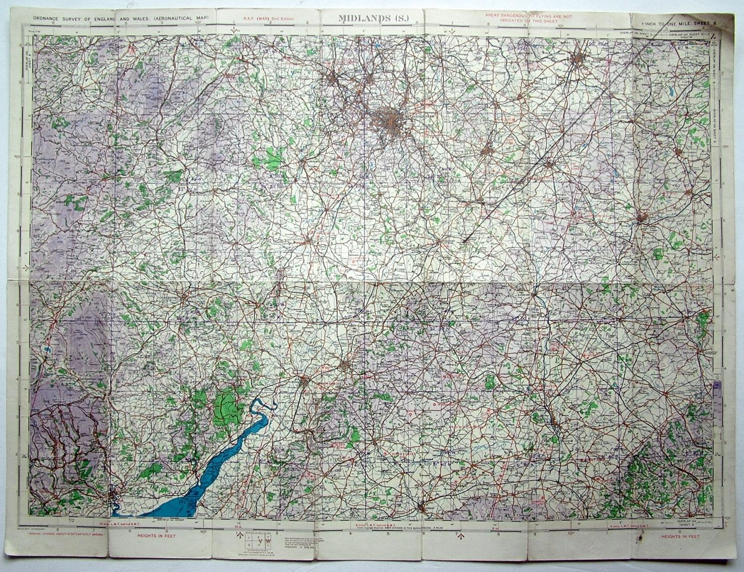
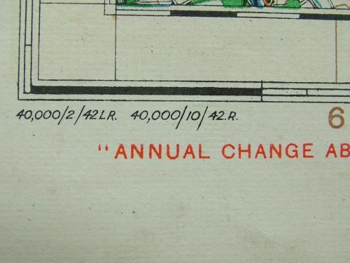
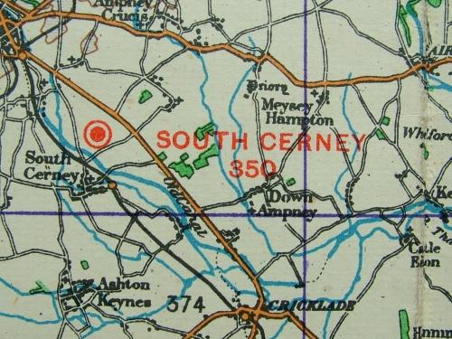
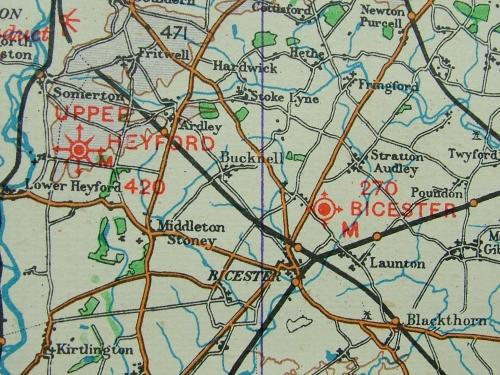
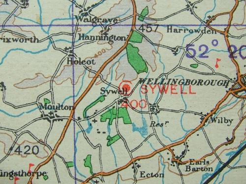
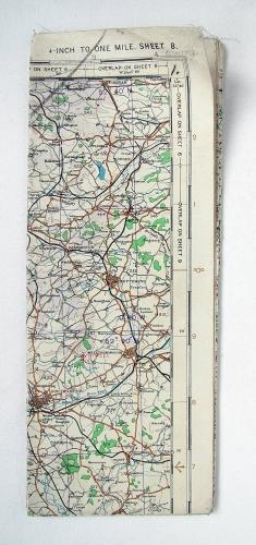
England - Midlands, (South). Sheet 8, R.A.F. (WAR) 2nd Edition dated 2/1942. 1/4" to 1 mile. Linen backed paper. Approx. 78 x 58cm. Shows wartime air bases operational at the time including Castle Bromwich, Pershore, Sywell, Upper Heyford, Brize Norton, Witney etc. Folded/creased. Some soiling. Has wear on some folds, dog-eared corners and with small tears on the edges. Fair '+' used. Stock code P17026.