Code: P17025
Dimensions:
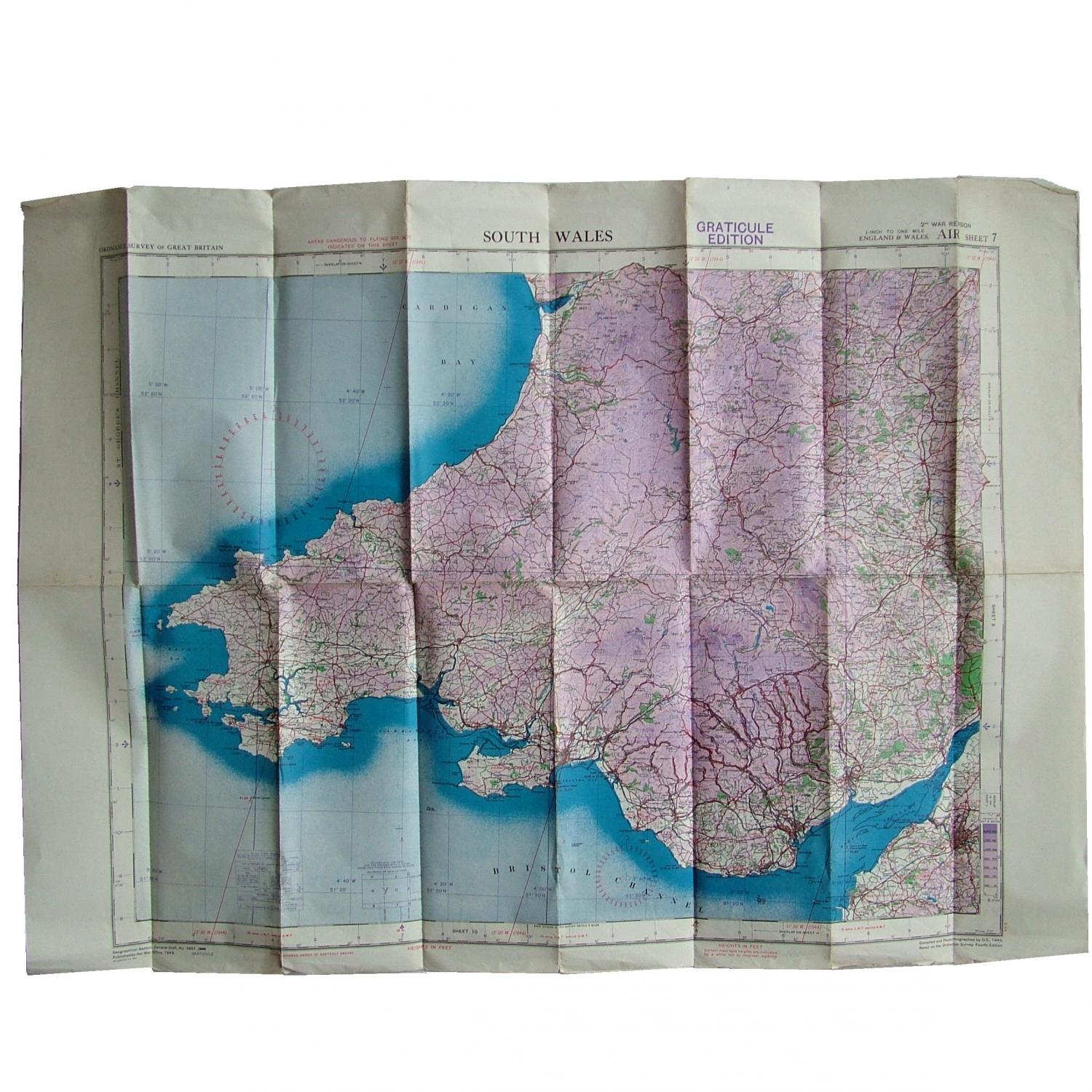
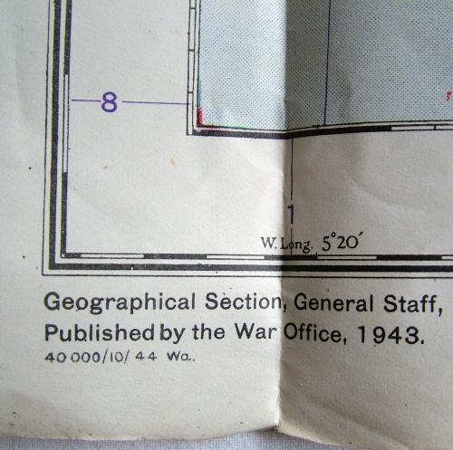
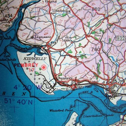
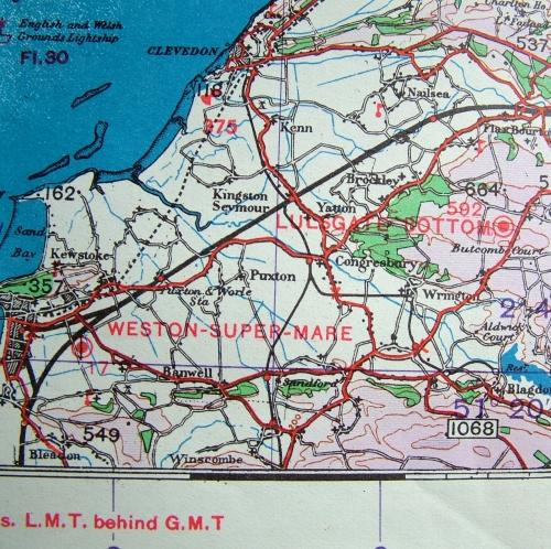
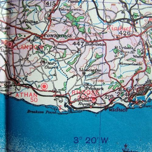
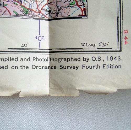
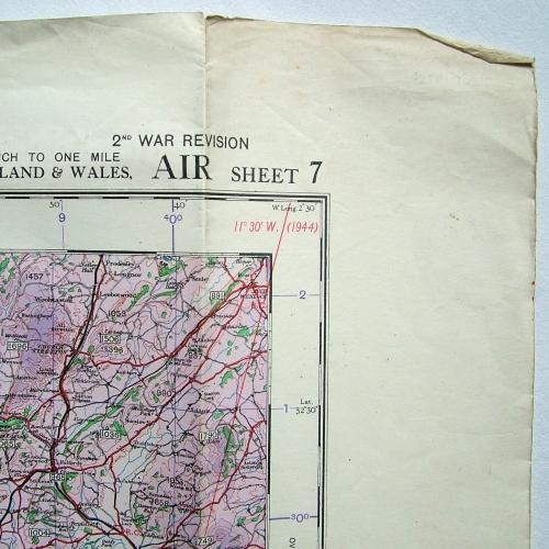
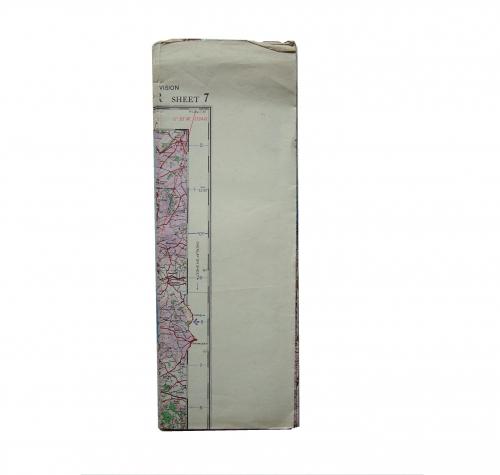
South Wales. Sheet 7, R.A.F. (2nd WAR Revision AIR), 'Graticule Edition dated 10/44. 1/4" to One Mile. Paper. Approx. 98 x 71 cm. Marked with wartime air bases operational at the time including Aberporth, Shobdon, Templeton, Pembroke Dock, Pembrey, St. Athan, Cardiff, Weston Super Mare etc. Folded/creased. Light soiling and dog-eared edges/corners. Quite good used. Stock code P17025.
