Code: P20651
Dimensions:
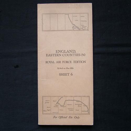
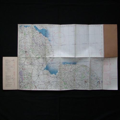
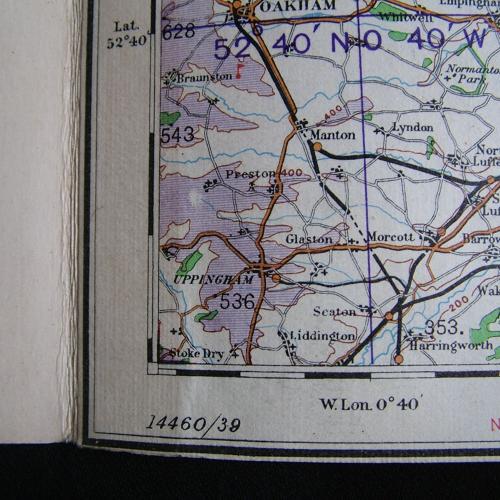
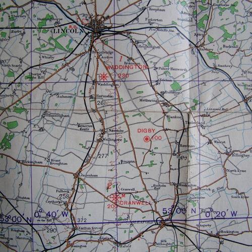
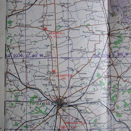
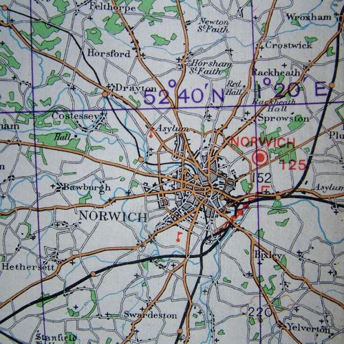
England, Eastern Counties (North), Sheet 6 , R.A.F. Edition dated 1939. 1/4" to one mile. Linen backed paper with card covers. Approximately 70 x 53cm. Shows wartime air bases operational at the time including Cranwell, Cottesmore, Sutton Bridge, Norwich, Waddington, Scampton, Hemswell etc. Folded and creased. Light wear and soiling only. Very good used condition. Stock code P20651.