

Code: P22014
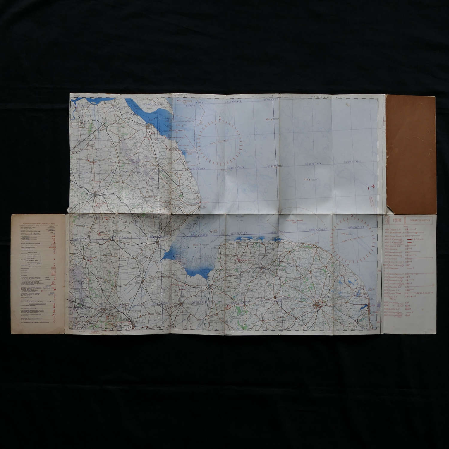
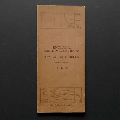
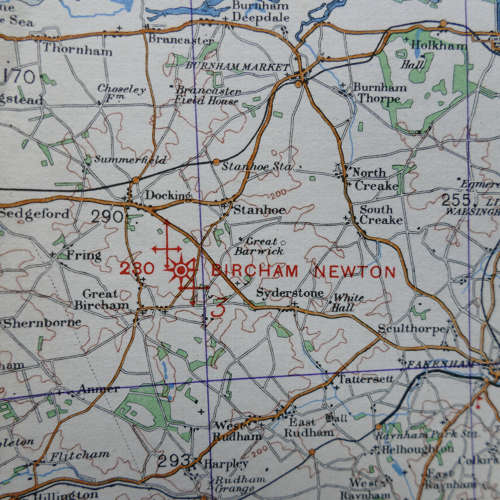
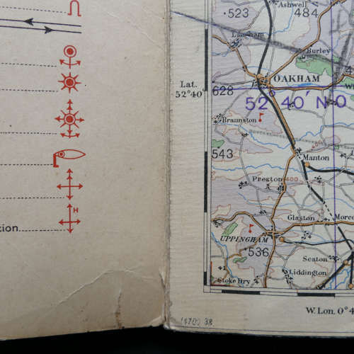
England, Eastern Counties (North), Sheet 6 , Royal Air Force Edition dated 1938. 1/4" to one mile. Linen backed paper with card covers. Approximately 70 x 53cm. Shows wartime air bases operational at the time including Cranwell, Sutton Bridge, Marham, Norwich, Waddington, Scampton, Hemswell etc. Folded and creased. Some marking, creasing and minor losses to the rearcover. Good used condition. This map belonged to a RAF veteran who was seconded to the Glider pilot regiment. His name will be supplied to the buyer. Purchased directly from the family .Stock code P22014.
