
Code: P24470
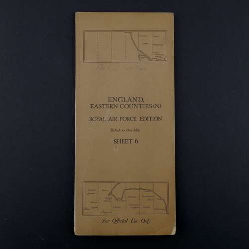
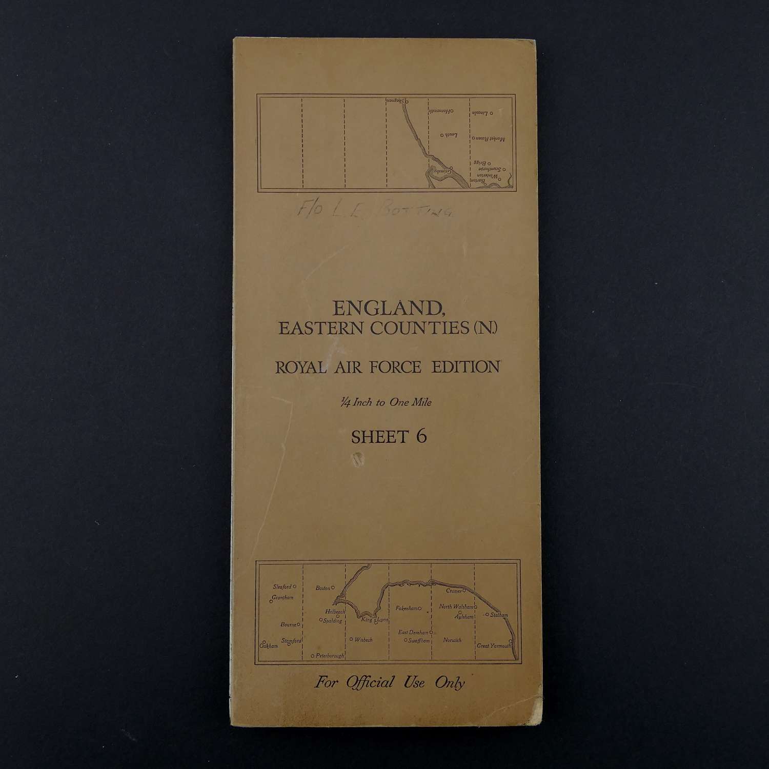
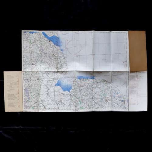
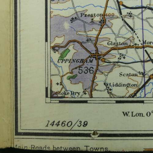
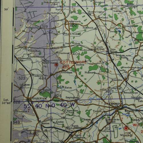
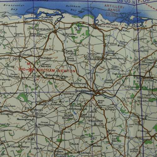
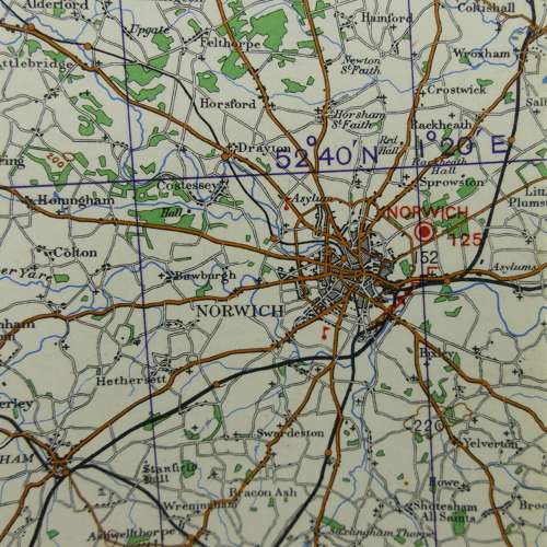
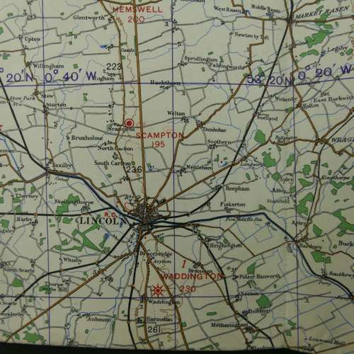
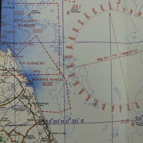
England, Eastern Counties (North), Sheet 6 , R.A.F. Edition dated 1939. 1/4" to one mile. Linen backed paper with card covers. Approximately 70 x 53cm. Shows wartime air bases operational at the time including Cranwell, Cottesmore, Sutton Bridge, Norwich, Waddington, Scampton, Hemswell etc. Folded and creased. Some marking to cover which is named to F/O L E Botting. Light wear and soiling only. Very good used condition. Stock code P24470.