Code: P19084
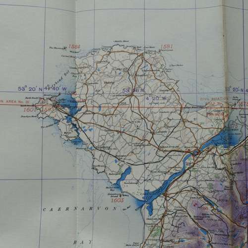
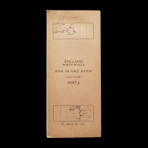
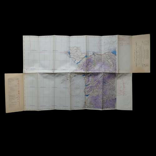
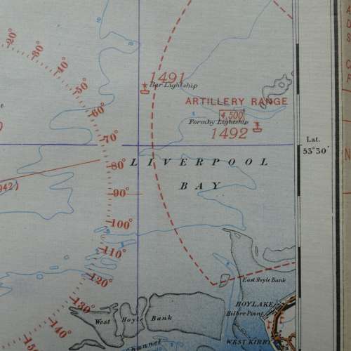
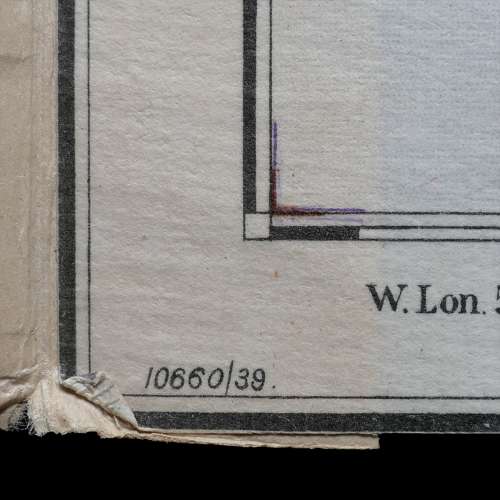
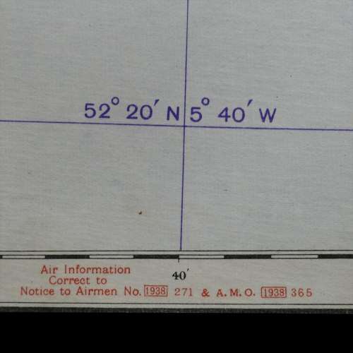
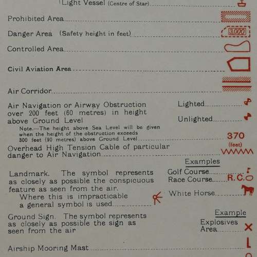
England, North Wales. RAF Edition, Sheet 4, 1/4" to One Mile. 1939 dated. Linen backed paper with card covers. Approximately 110 x 60cm including covers. Marked with early wartime air bases and artillery ranges operational at the time including Holyhead and Penrhos. Folded/creased. Light soiling. Very good used. Stock code P19084.