
Code: P12900
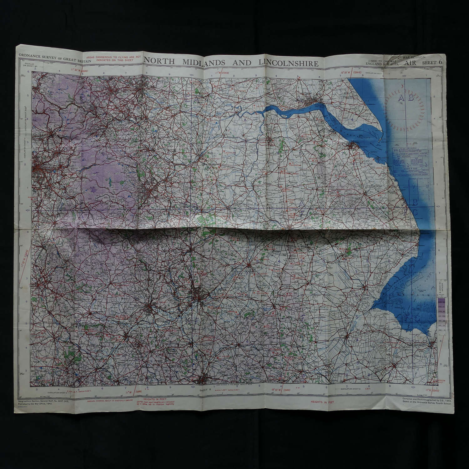
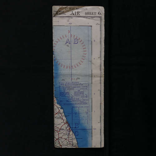
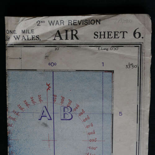
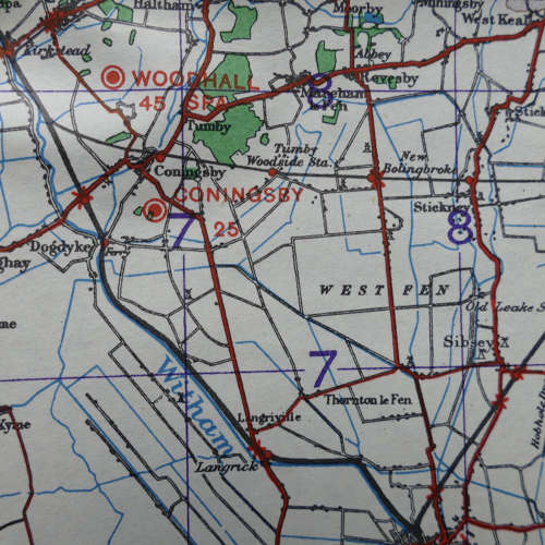
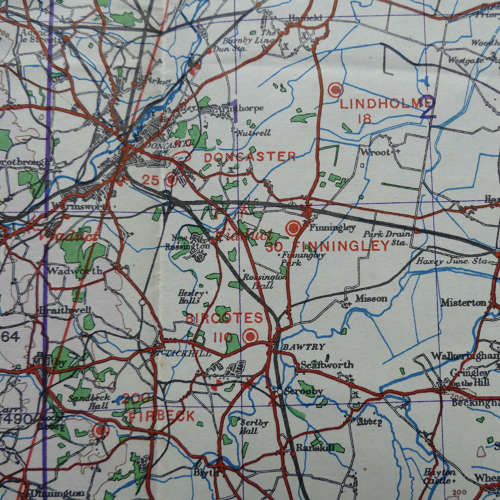
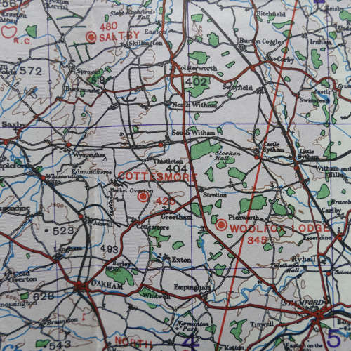
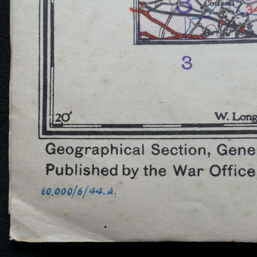
North Midlands And Lincolnshire, AIR Sheet 6, 2nd War Revision dated 6/1944. 1/4" to 1 mile. Paper. Approx. 75 x 64cm. Shows numerous wartime air bases operational at the time including Church Fenton, Snaith, Finningley, 617 'Dam Buster' base Scampton, Bottesford, Cranwell, Coningsby, Cottesmore, Wittering etc. Folded/creased. Light soiling. Slightly dog-eared corners. Good '+' used. Stock code P12900.
