Code: P20807
Dimensions:
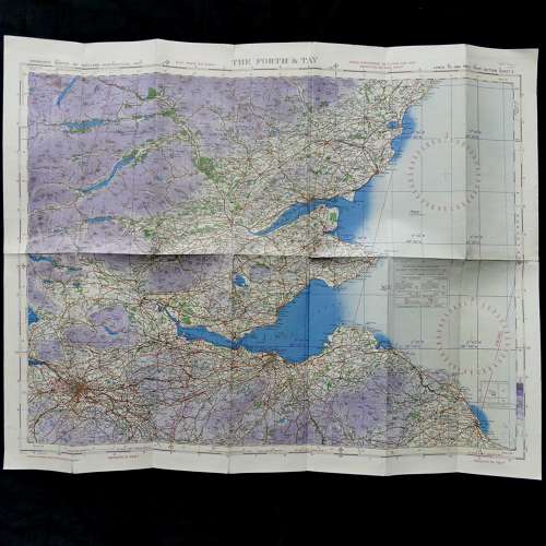
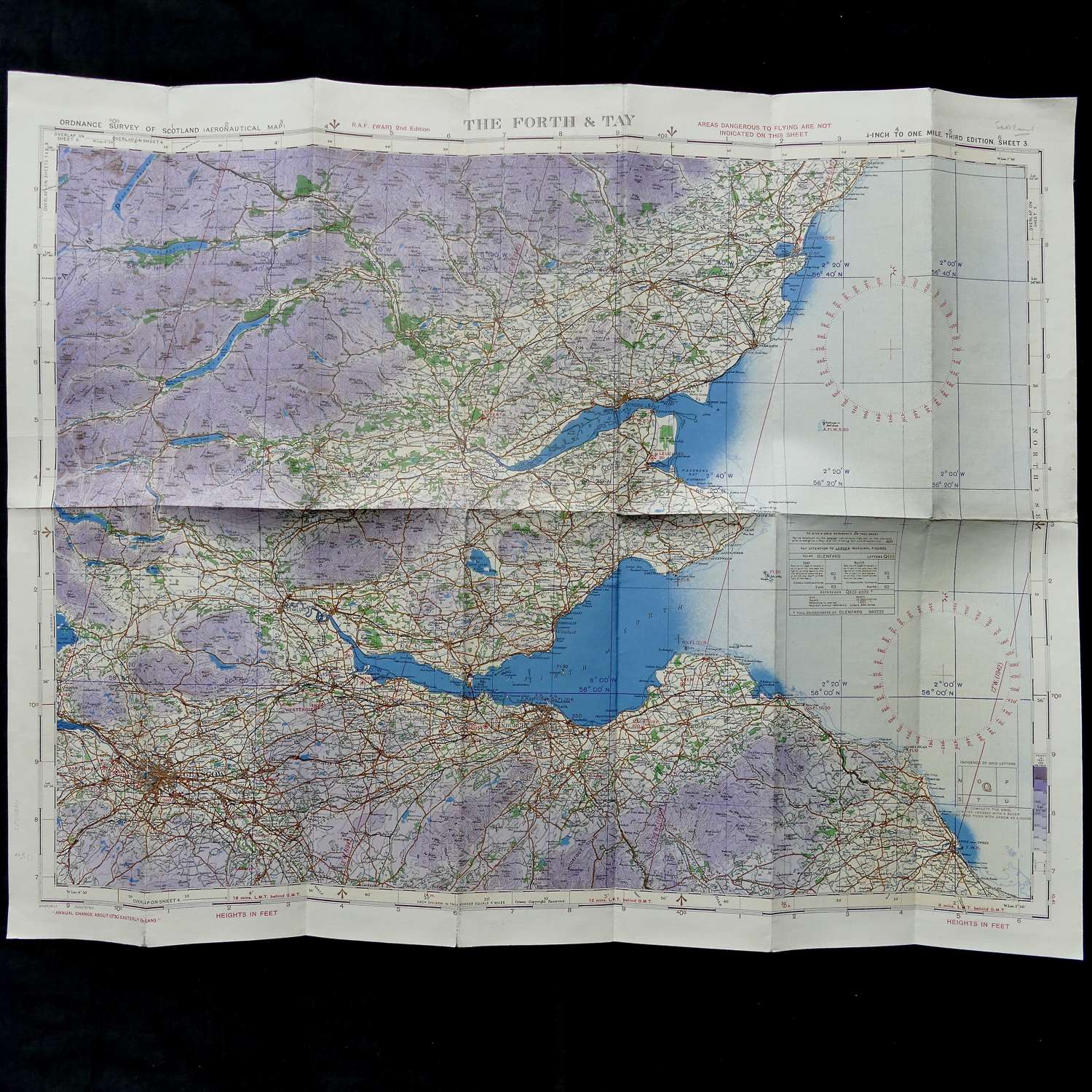
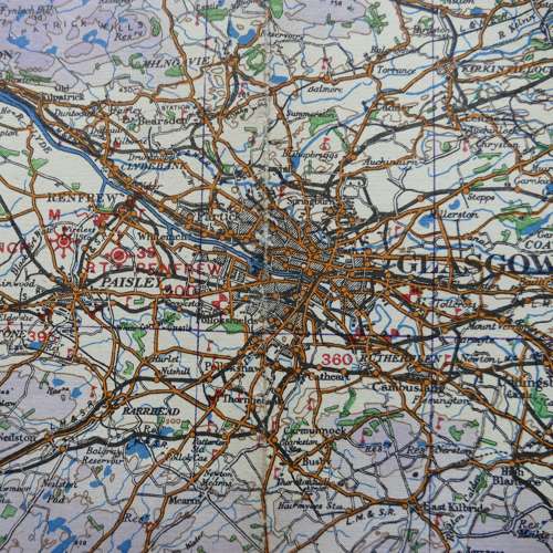
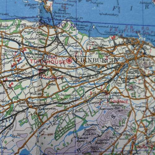
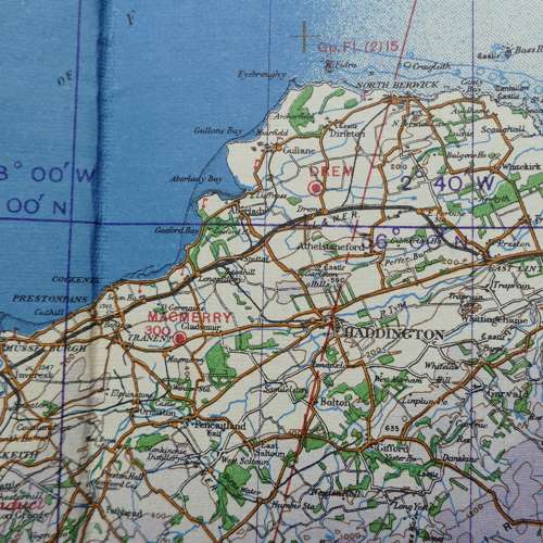
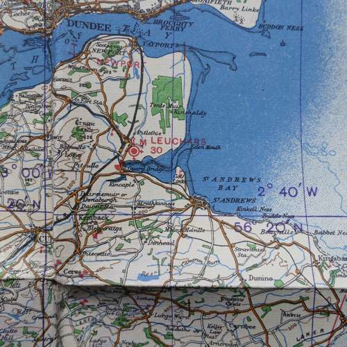
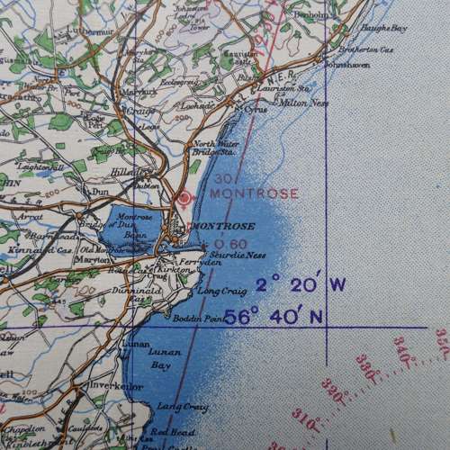
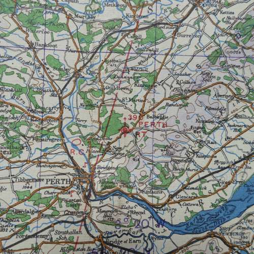
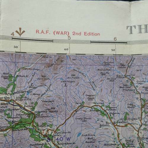
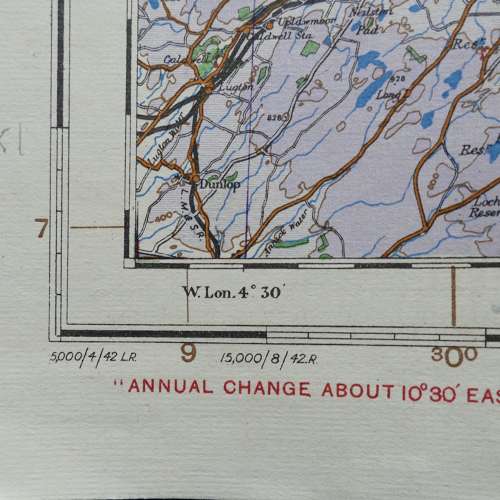
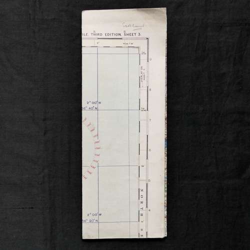
Scotland, The Forth & Tay, Sheet 3, R.A.F. (WAR) 2nd Edition dated 8/42. 1/4" to one mile. Linen backed paper. Approximately 44 x 59cm. Shows wartime air bases operational at the time including Renfrew, Westerglen, Turnhouse, Drem, Leuchars, Montrose etc. Folded and creased. with some wear on the fold lines and edges but in good used condition overall. Stock code P20807.