


Code: S25433
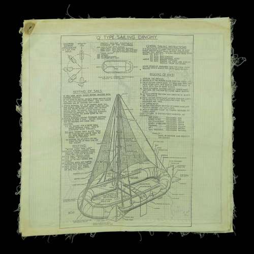
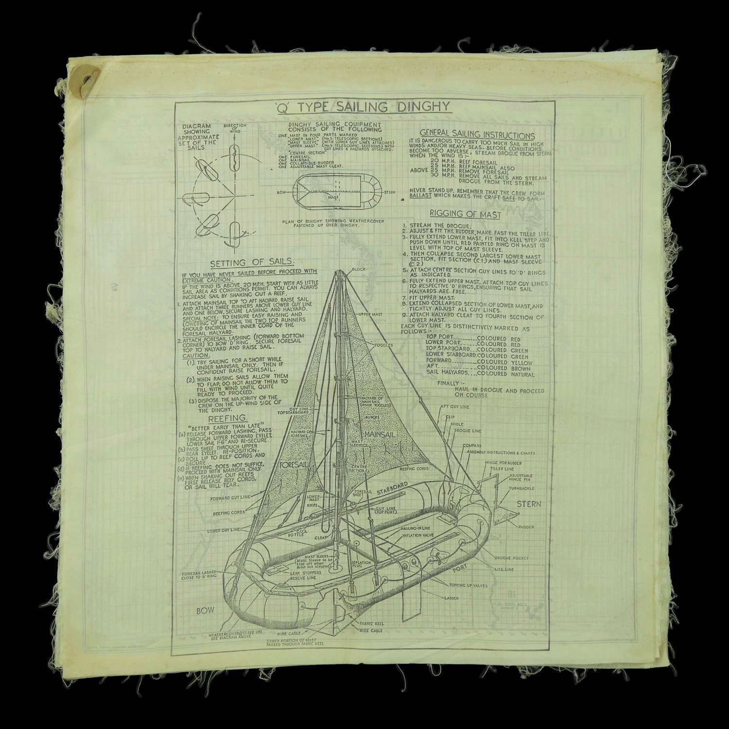
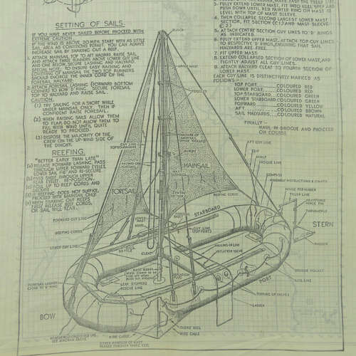
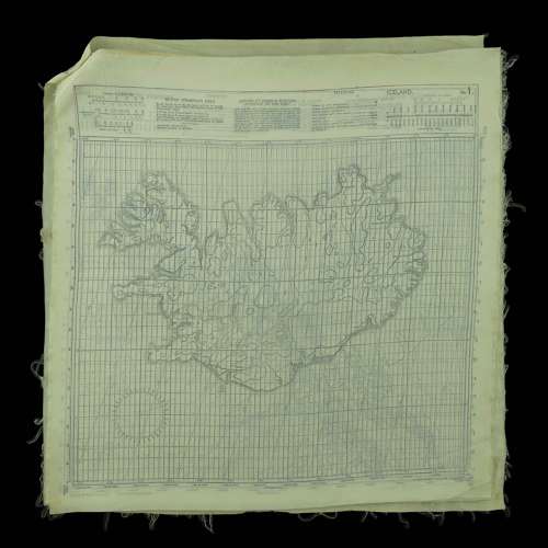
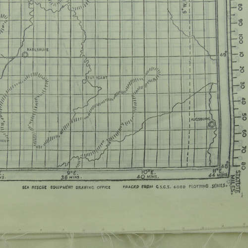
Scarce instruction sheet and maps for sailing the RAF type Q dinghy. Approximately 32 x 32cm, printed on silk or rayon. 10 double sided sheets c.1943 rivetted together in the upper left corner. The top sheet is illustrated with a line drawing of the dinghy accompanied with detailed set-up and sailing instructions for this relatively complex multi-man vessel. The type Q was 16' long and equipped with a 16' high twin sectional telescopic mast accomodating a mainsail and smaller foresail. Crutially, unlike the earlier J-type, it also had a canvas keel and rudder enabling it to be steered with greater accuracy. The reverse side of the top sheet has a 'key' map and the remaining 9 sheets contain 18 separate sea charts covering Iceland, Norway, Norway West, Faero Islands, Norway S.W., Irish Channel, English Channel, Spain, France (South), Adriatic, Gibraltar, Algeria, Greece & Tripoli, Anatolia & Egypt, Morocco, Cape Verde I & Senegal. Each of these was prepared by the Sea Rescue Drawing Office. The charts have not been folded and are generally quite clean and undamaged. Some edge fraying but in very good to excellent overall condition. Stock code S25433.