Email: david@historicflyingclothing.com
Web site: https://www.historicflyingclothing.com/
|
|
Tel: 01332 345729 Email: david@historicflyingclothing.com Web site: https://www.historicflyingclothing.com/ |
|
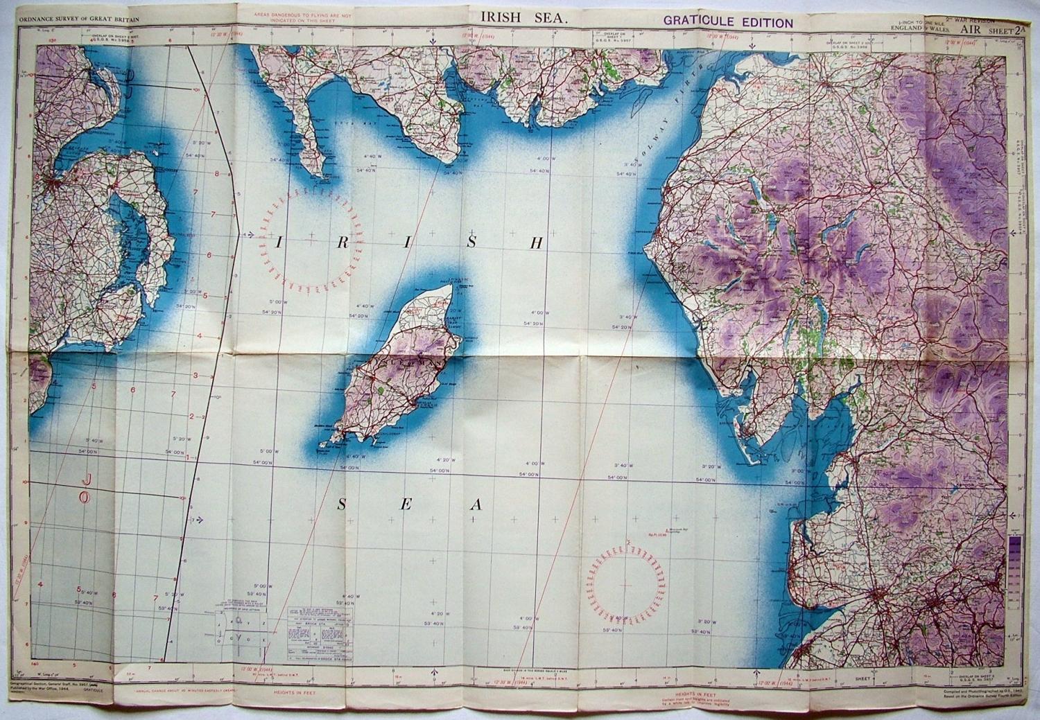
Code: P17009
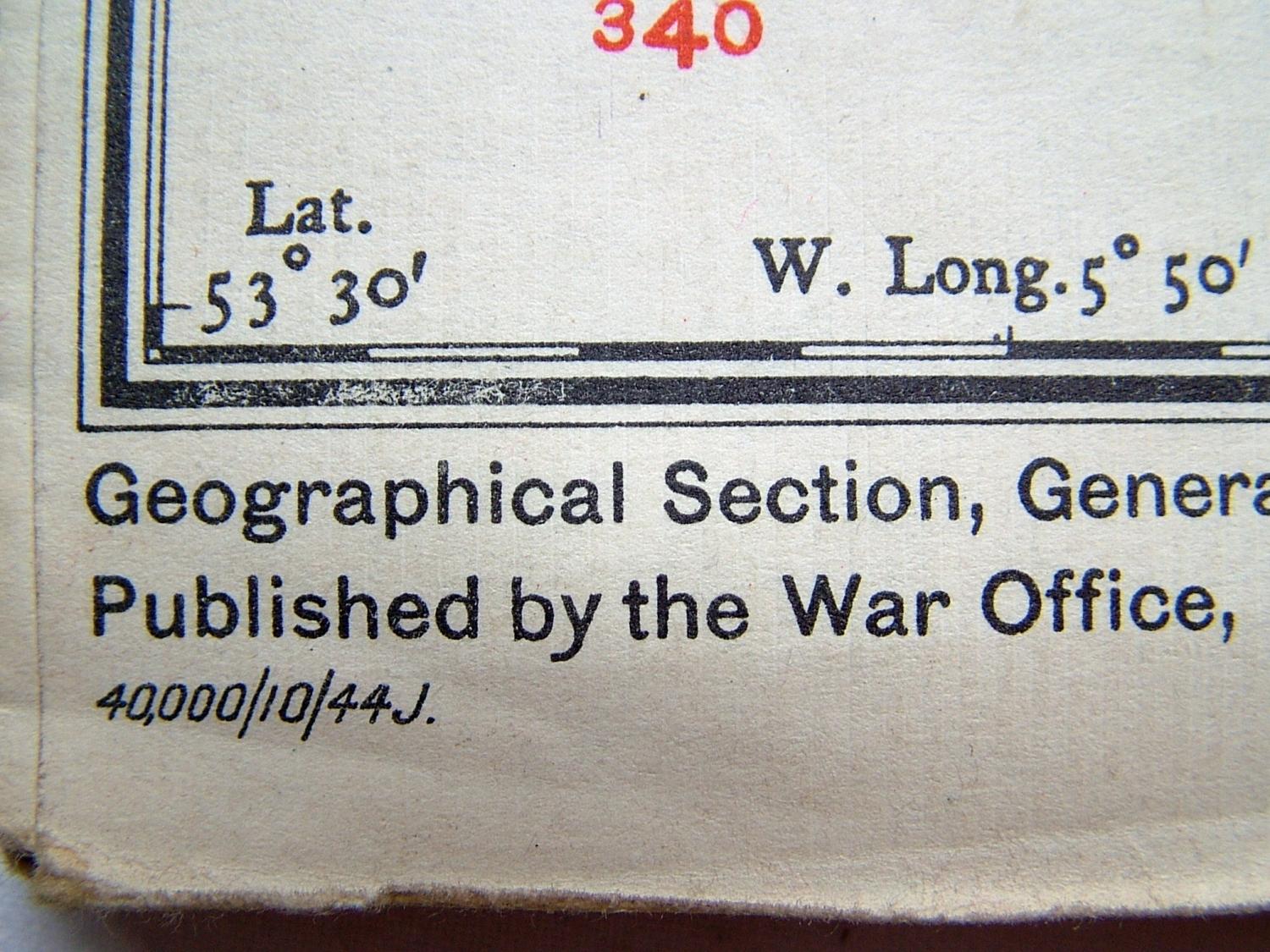
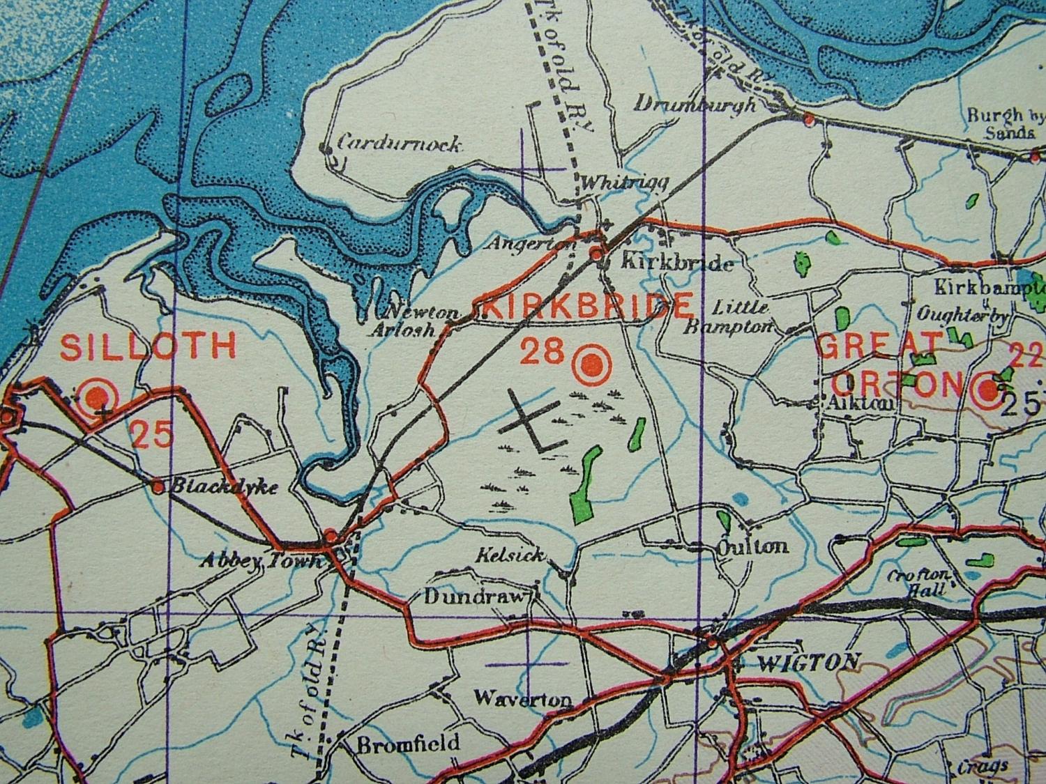
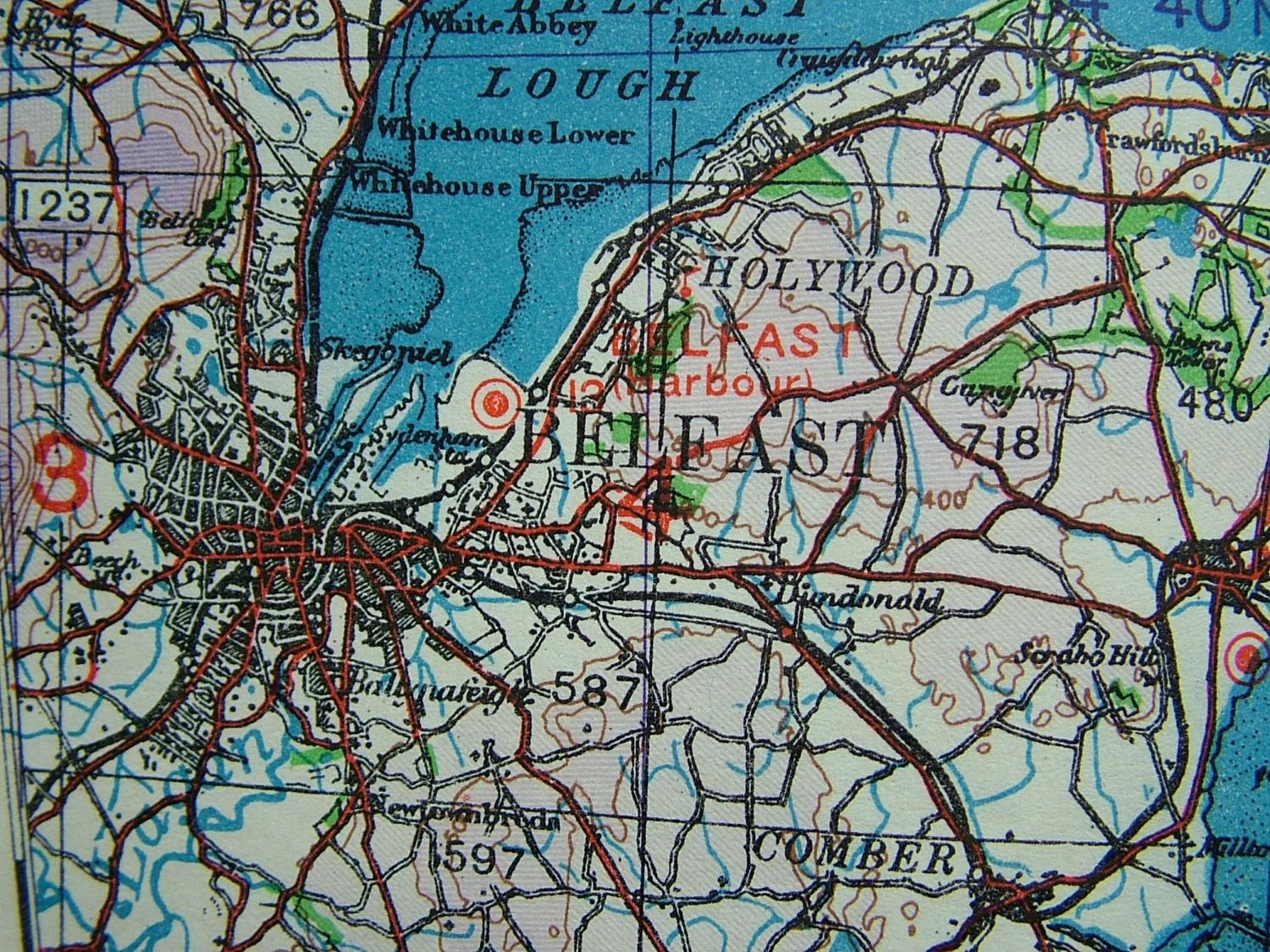
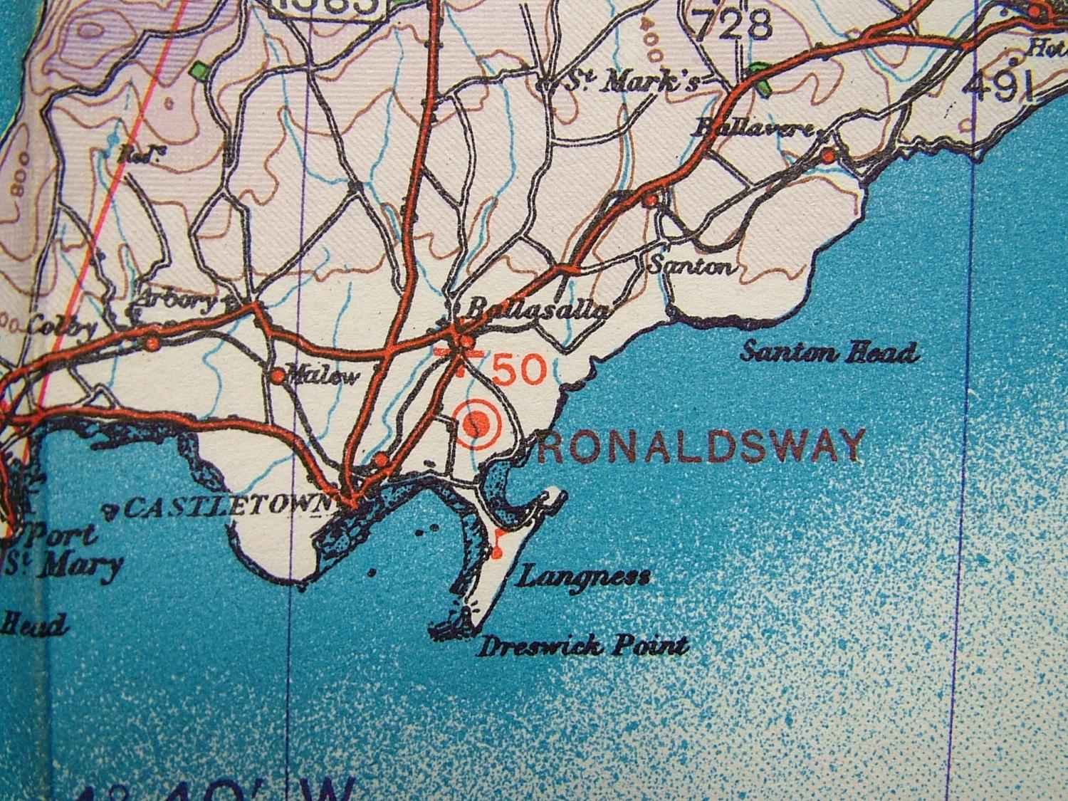
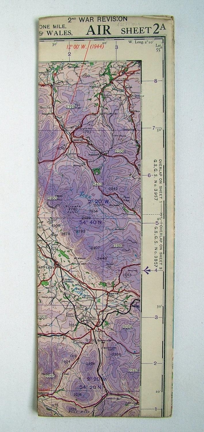
Irish Sea. Graticule Edition, AIR Sheet 2A, 2nd War Revision Edition dated 10/1944. 1/4" to 1 mile. Paper. Approx. 90 x 68cm. Shows wartime air bases operational at the time in parts of Ireland, Southern Scotland, Northern England and the Isle of Man including Belfast, Newtownards, Stranraer, Jurby, Ronaldsway, Silloth, Carlsile etc. Folded/creased. Light soiling. Dog-eared corners. Very good used condition. Stock code P17009.