Email: david@historicflyingclothing.com
Web site: https://www.historicflyingclothing.com/
|
|
Tel: 01332 345729 Email: david@historicflyingclothing.com Web site: https://www.historicflyingclothing.com/ |
|
Code: MP1111
Dimensions:
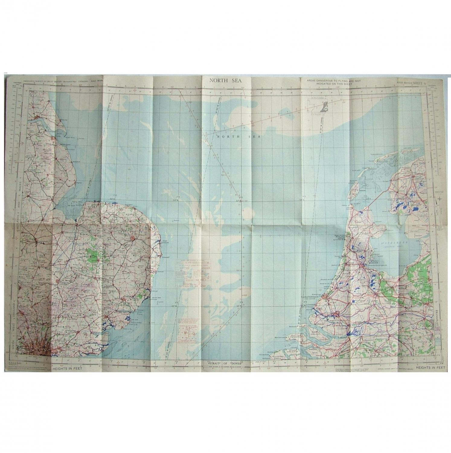
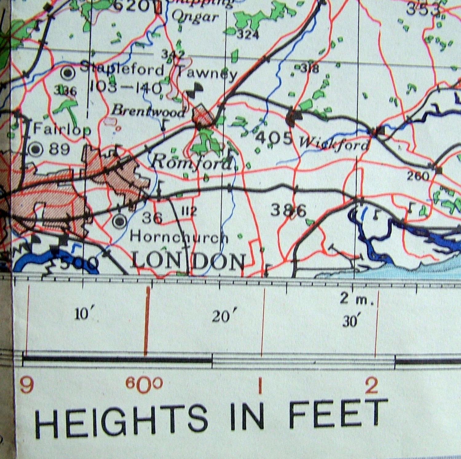
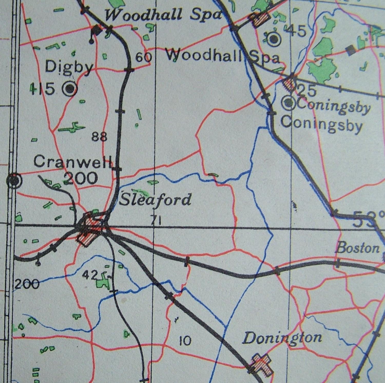
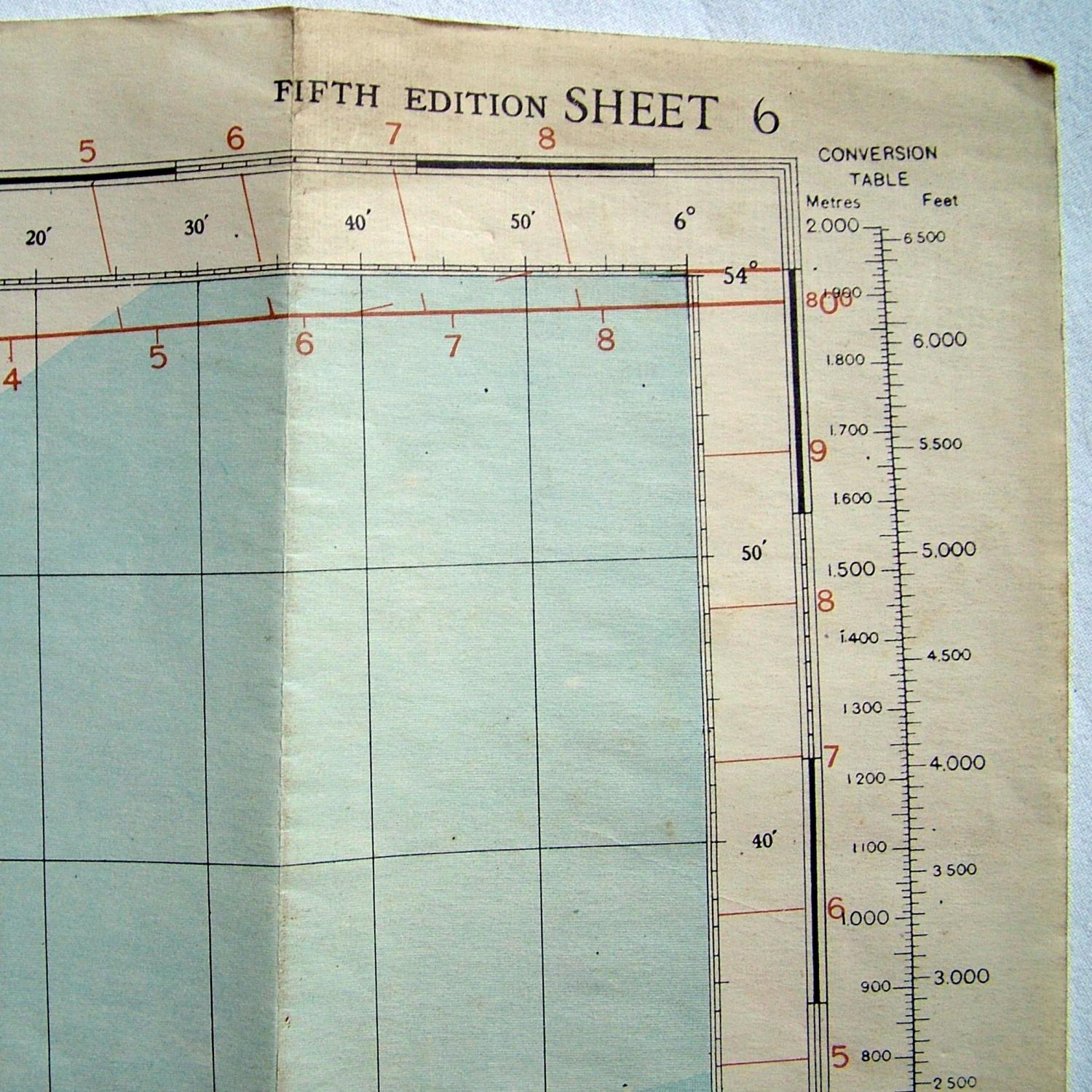
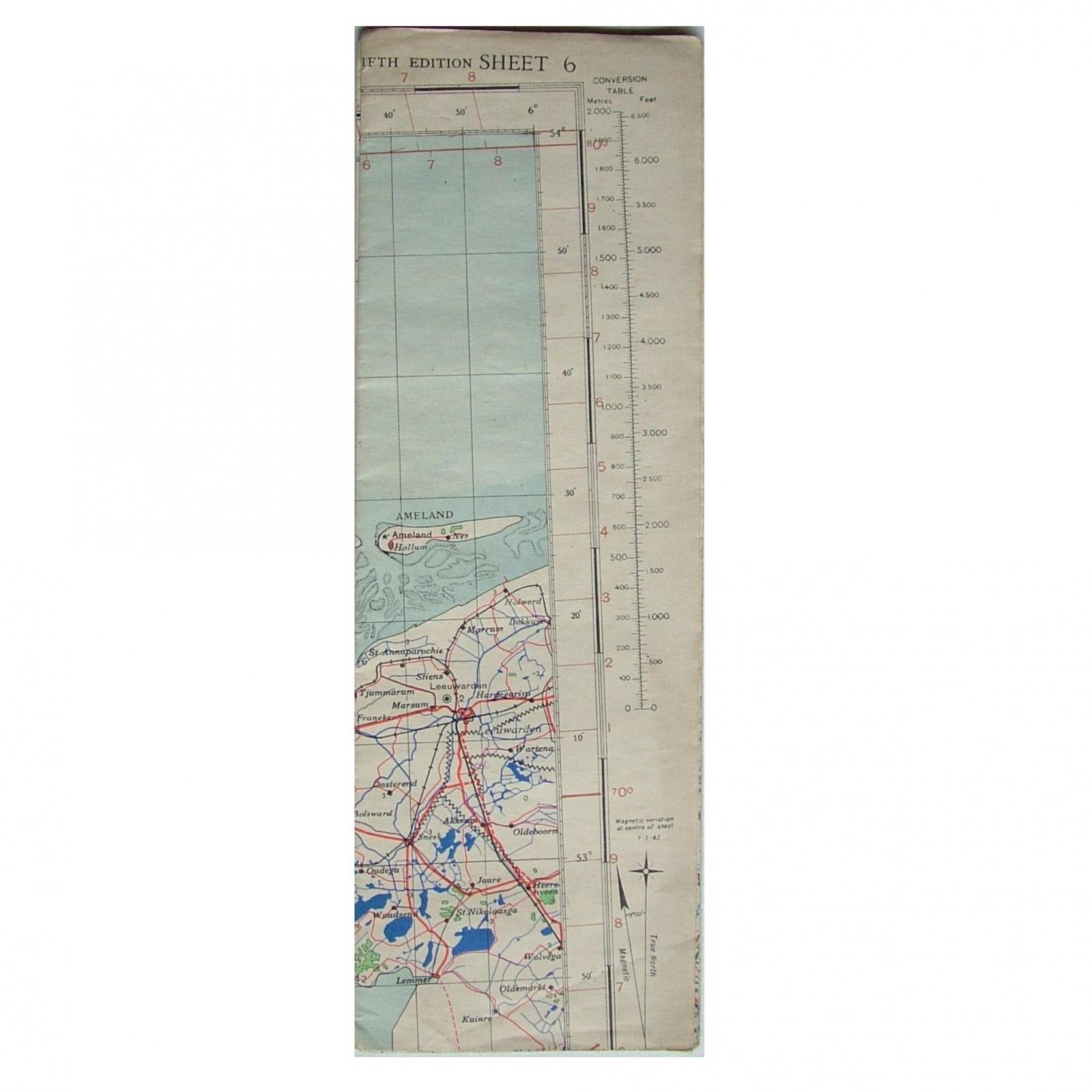
North Sea. Sheet 6, R.A.F. (WAR) 5th Edition dated 4/44. 1 : 500,000. Paper. Approx. 95 x 63 cm. Shows the Eastern coastline of England from around Hull down to London and the Dutch coastline. Marked with wartime air bases operational at the time including Northolt, Hendon, Hornchurch, Earls Colne, North Weald, Twinwood, Thorpe Abbots, Woodhall Spa, Coningby and Cranwell etc. Folded/creased. Some light soiling & dog-eared corners. Good used. Stock code MP1111.