Email: david@historicflyingclothing.com
Web site: https://www.historicflyingclothing.com/
|
|
Tel: 01332 345729 Email: david@historicflyingclothing.com Web site: https://www.historicflyingclothing.com/ |
|
Code: P21769
Dimensions:
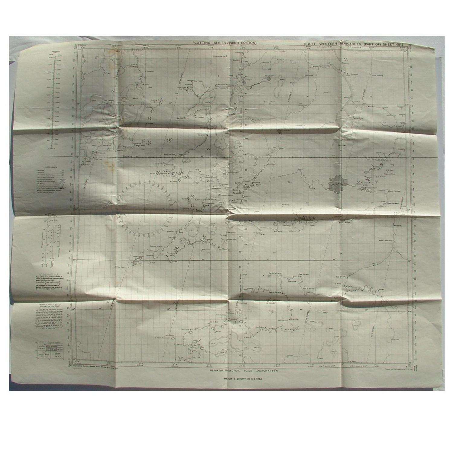
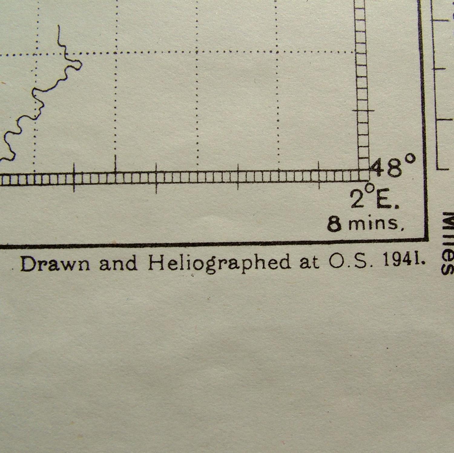
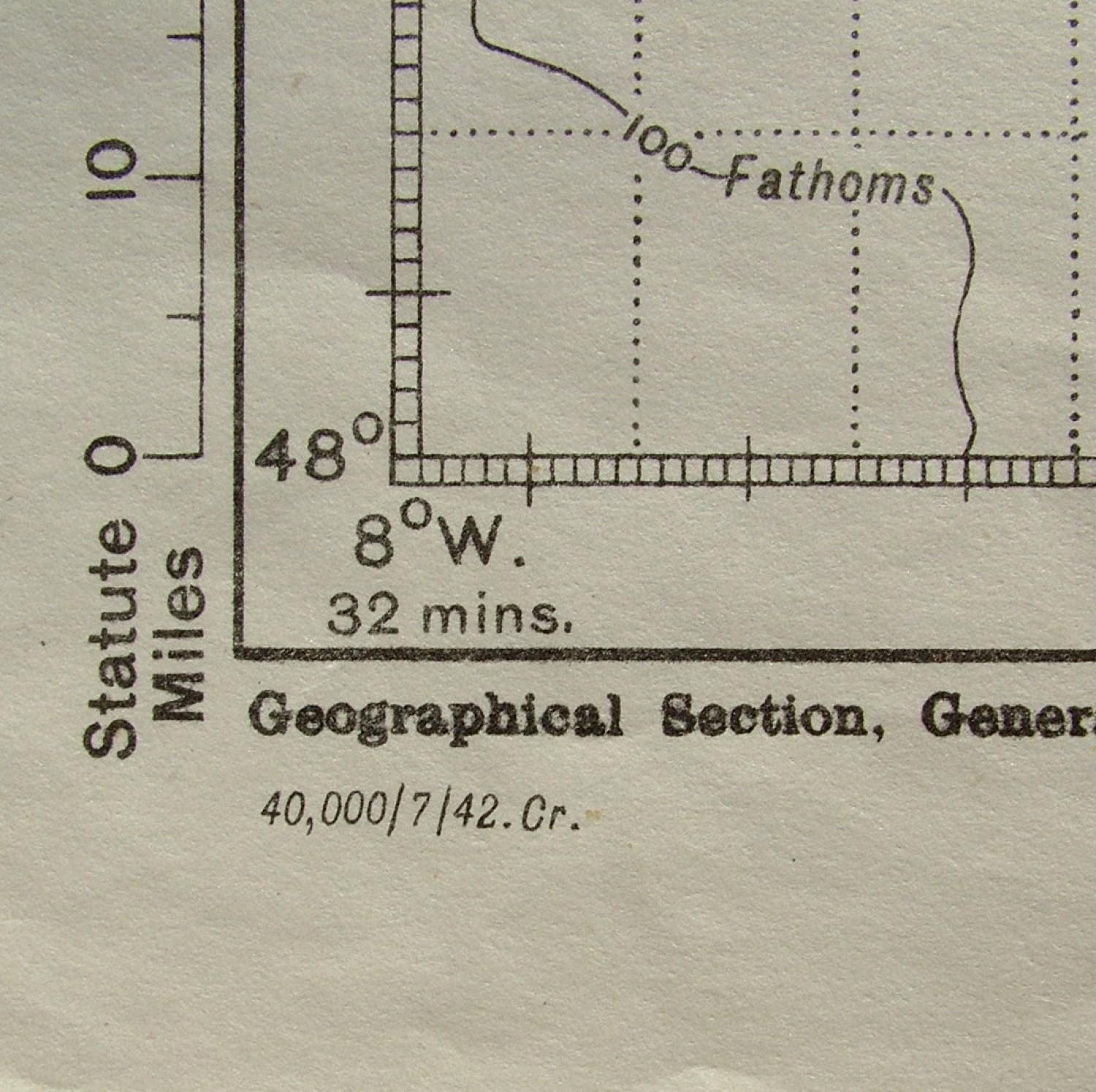
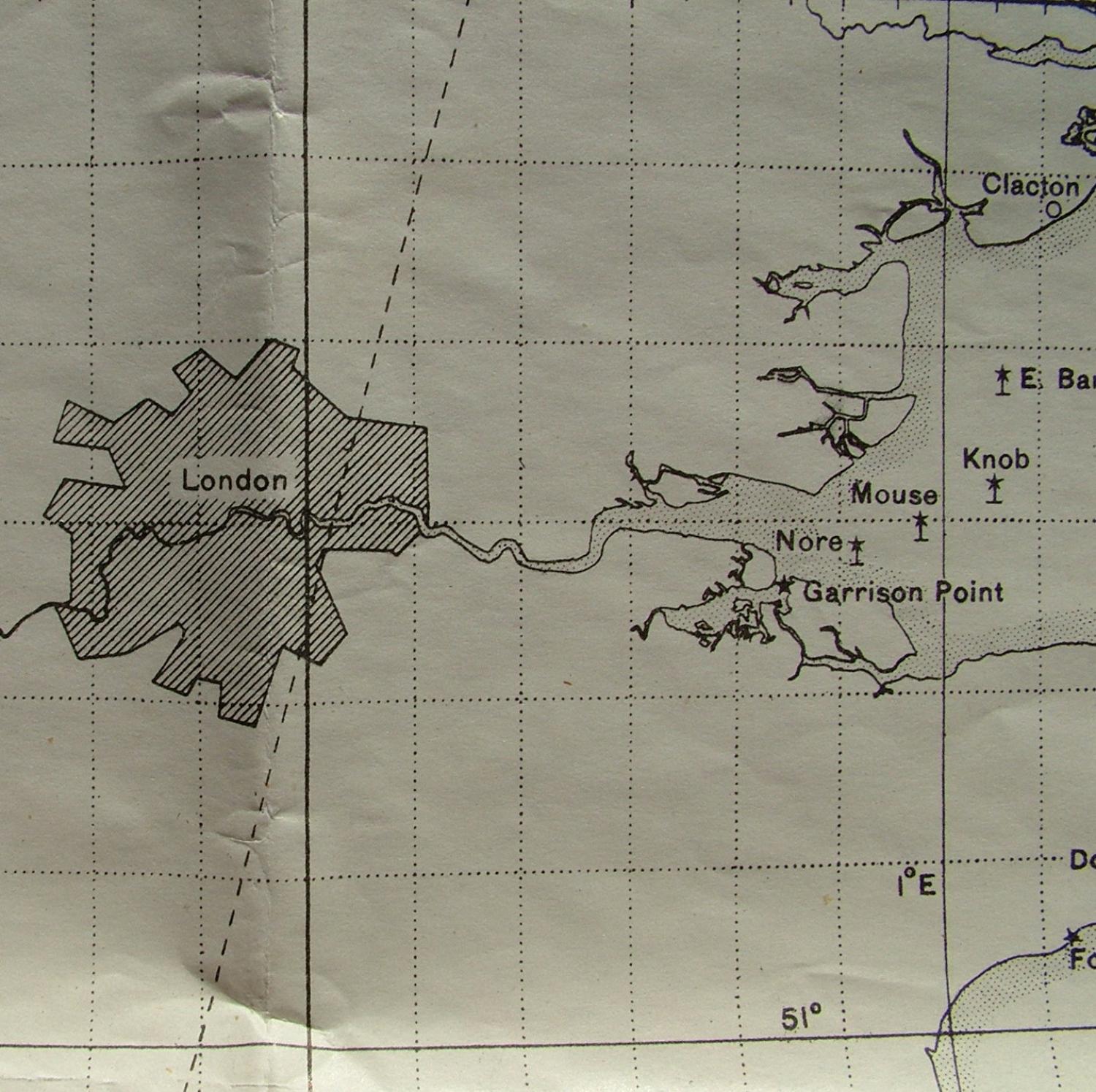
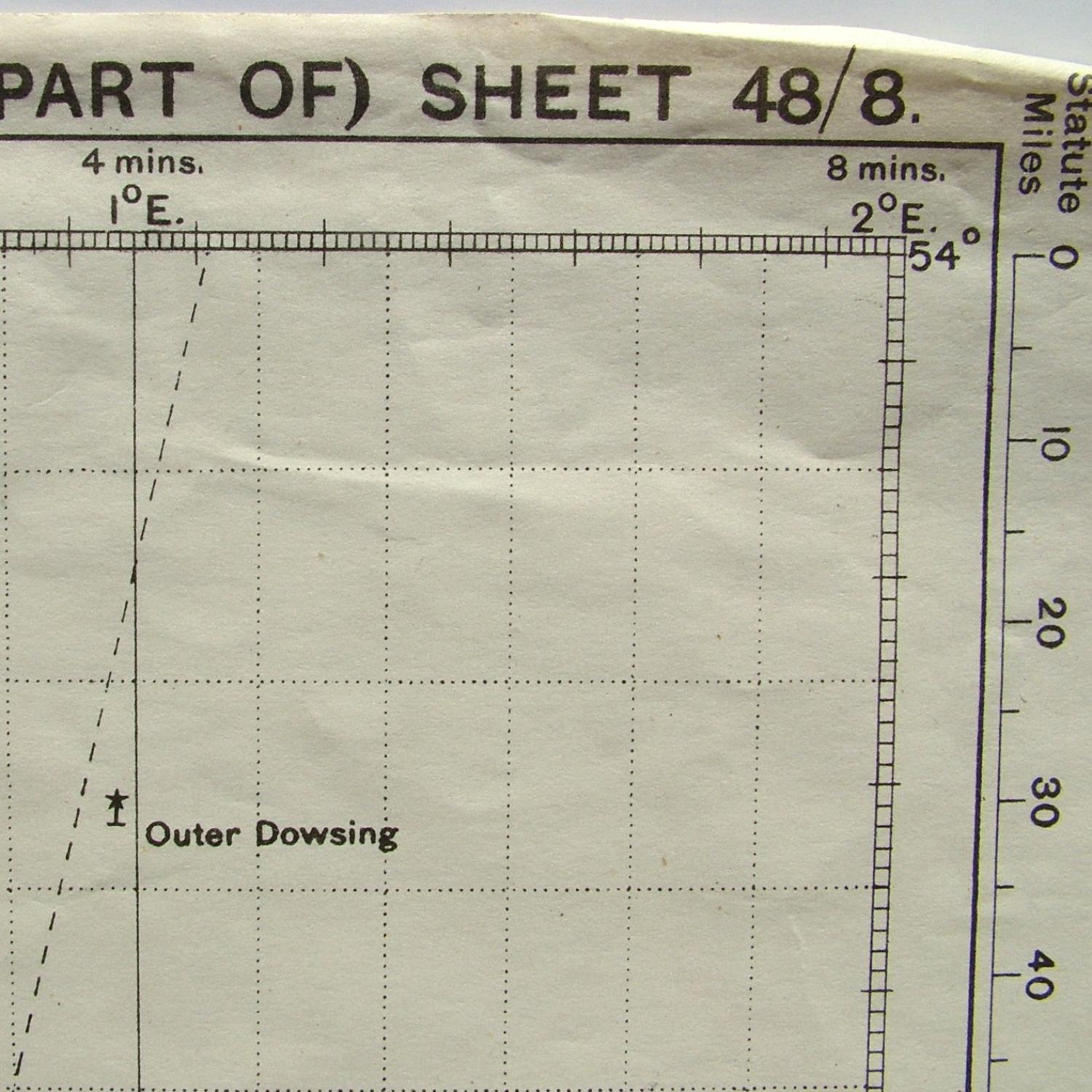
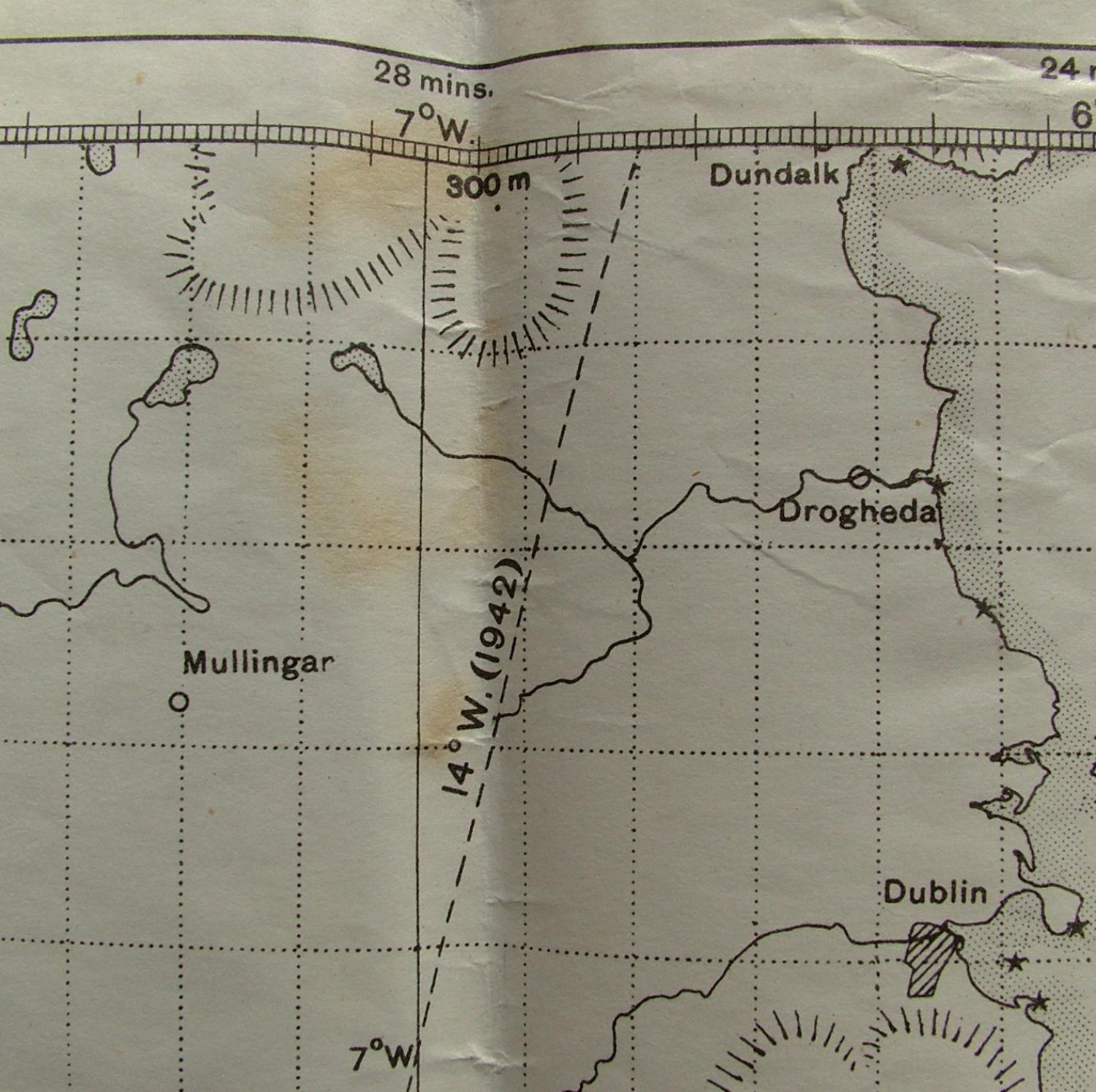
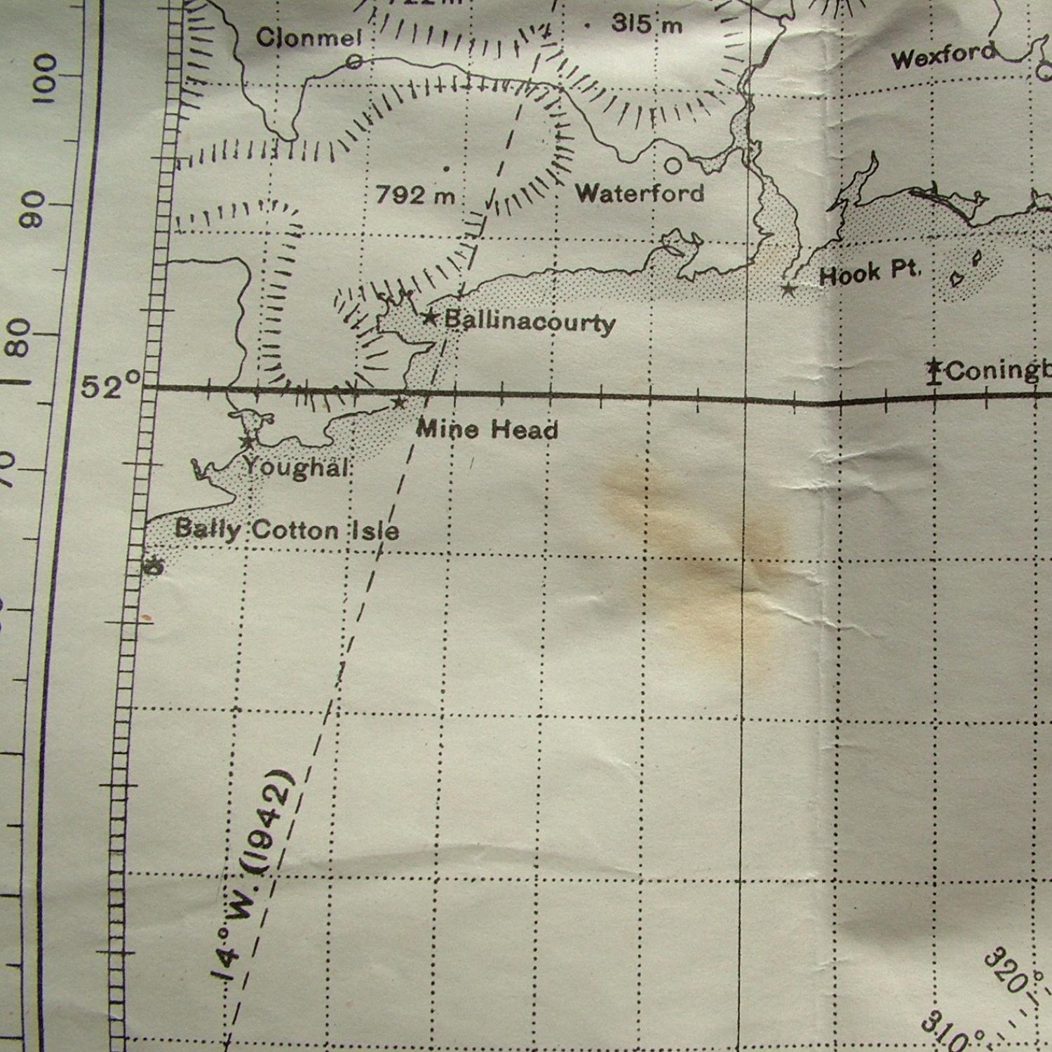
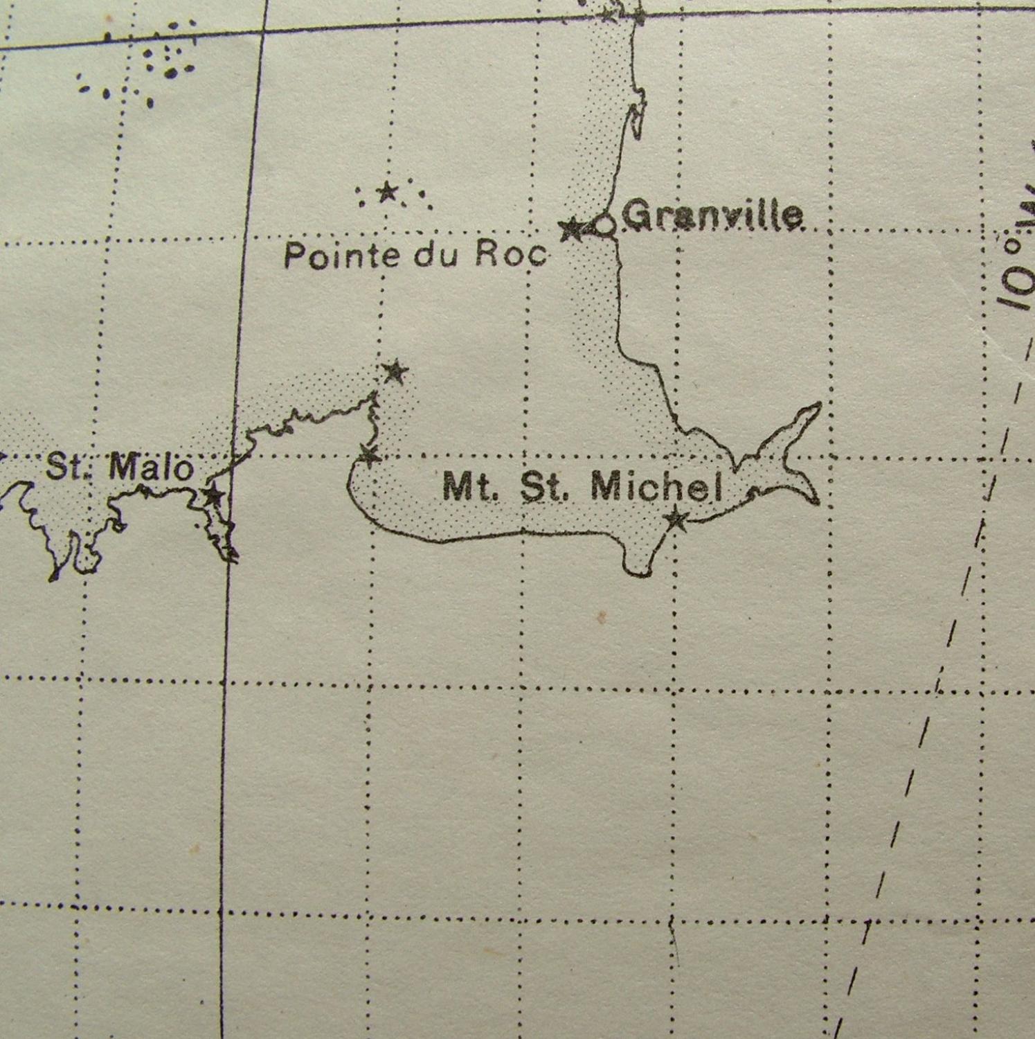
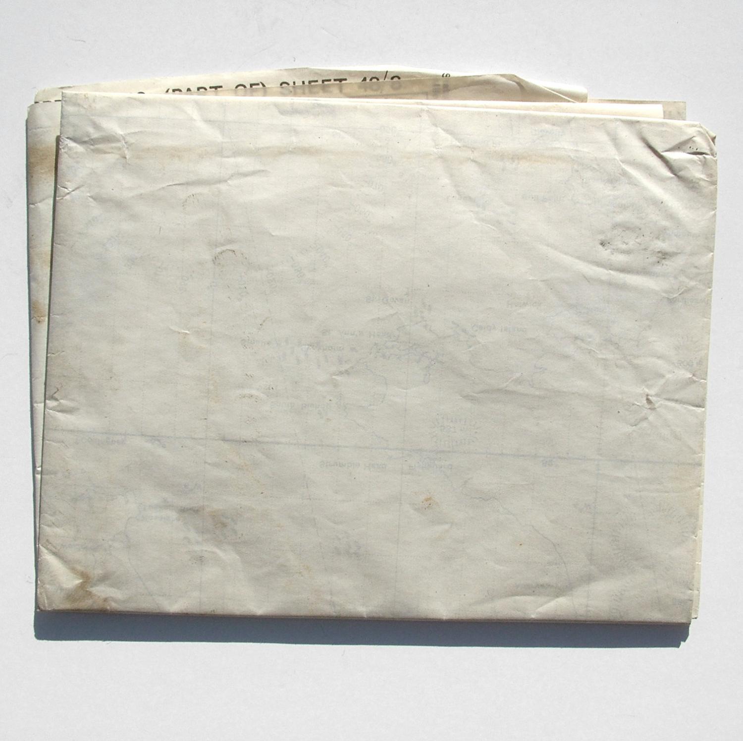
RAF Plotting Series (Third Edition) Map, Sheet 48/8. South Western Approaches, (Part Of). Scale 1 : 1,000,000 at 56 degrees North. Printed on paper. Approximately 80 x 65cm. Drawn and heliographed at O.S. 1941, this edition printed July 1942. Shows much of England and Wales, parts of Southern Ireland and the French coastline. Dog eared corners but generally very clean and in good condition. Folded. These maps are popular and increasingly difficult to find. Stock code P21769.