Email: david@historicflyingclothing.com
Web site: https://www.historicflyingclothing.com/
|
|
Tel: 01332 345729 Email: david@historicflyingclothing.com Web site: https://www.historicflyingclothing.com/ |
|
Code: P22642
Dimensions:
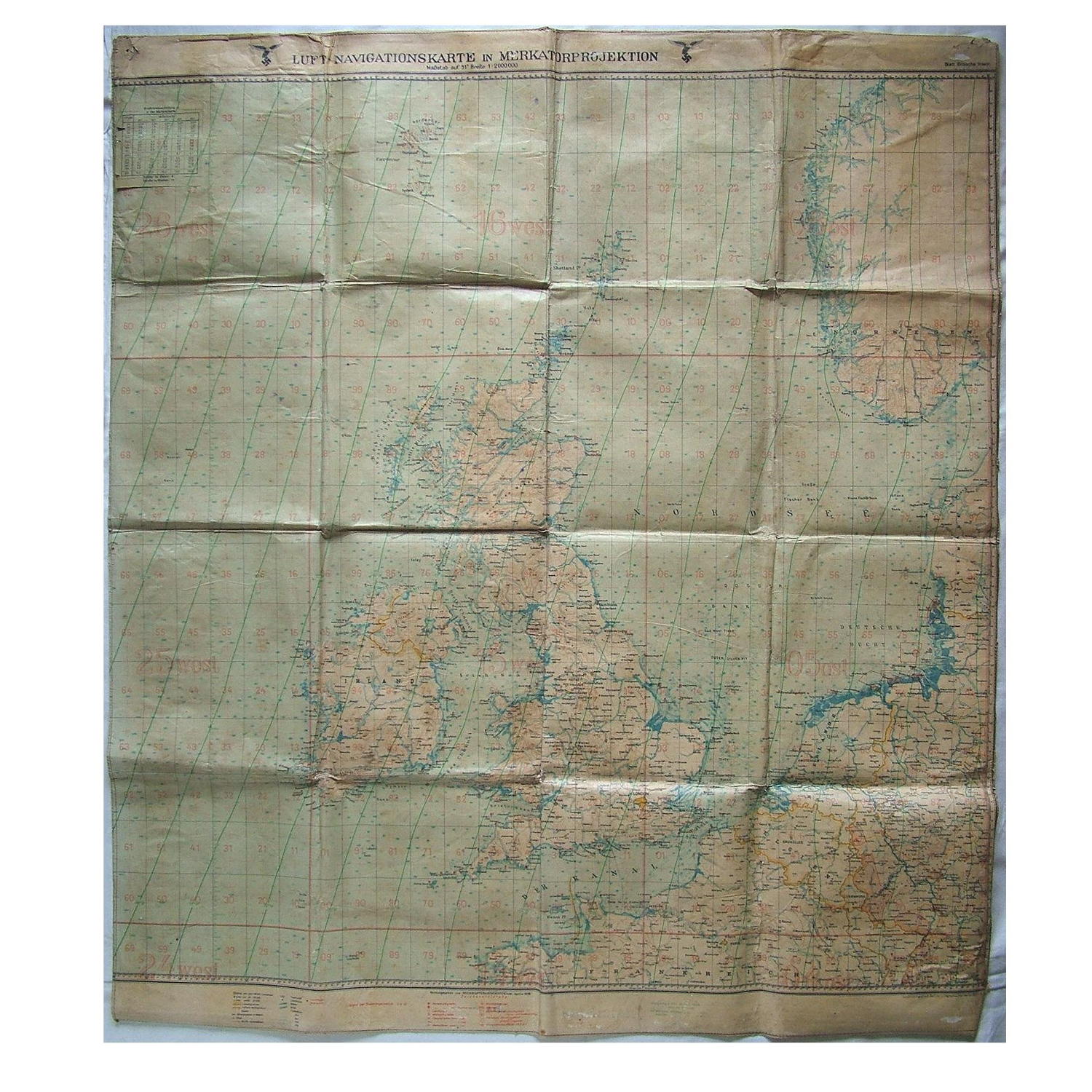
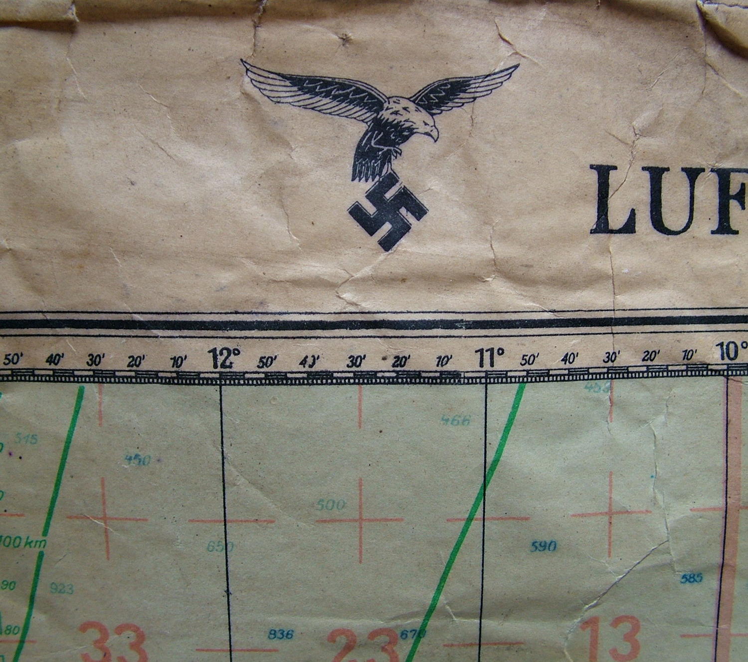
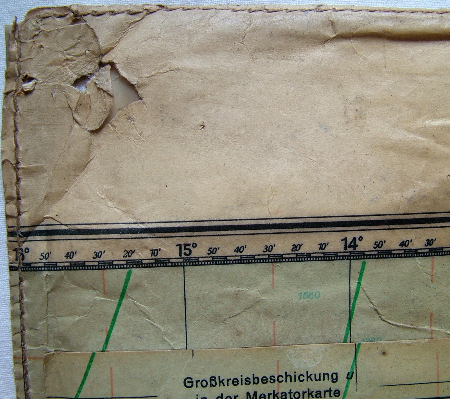
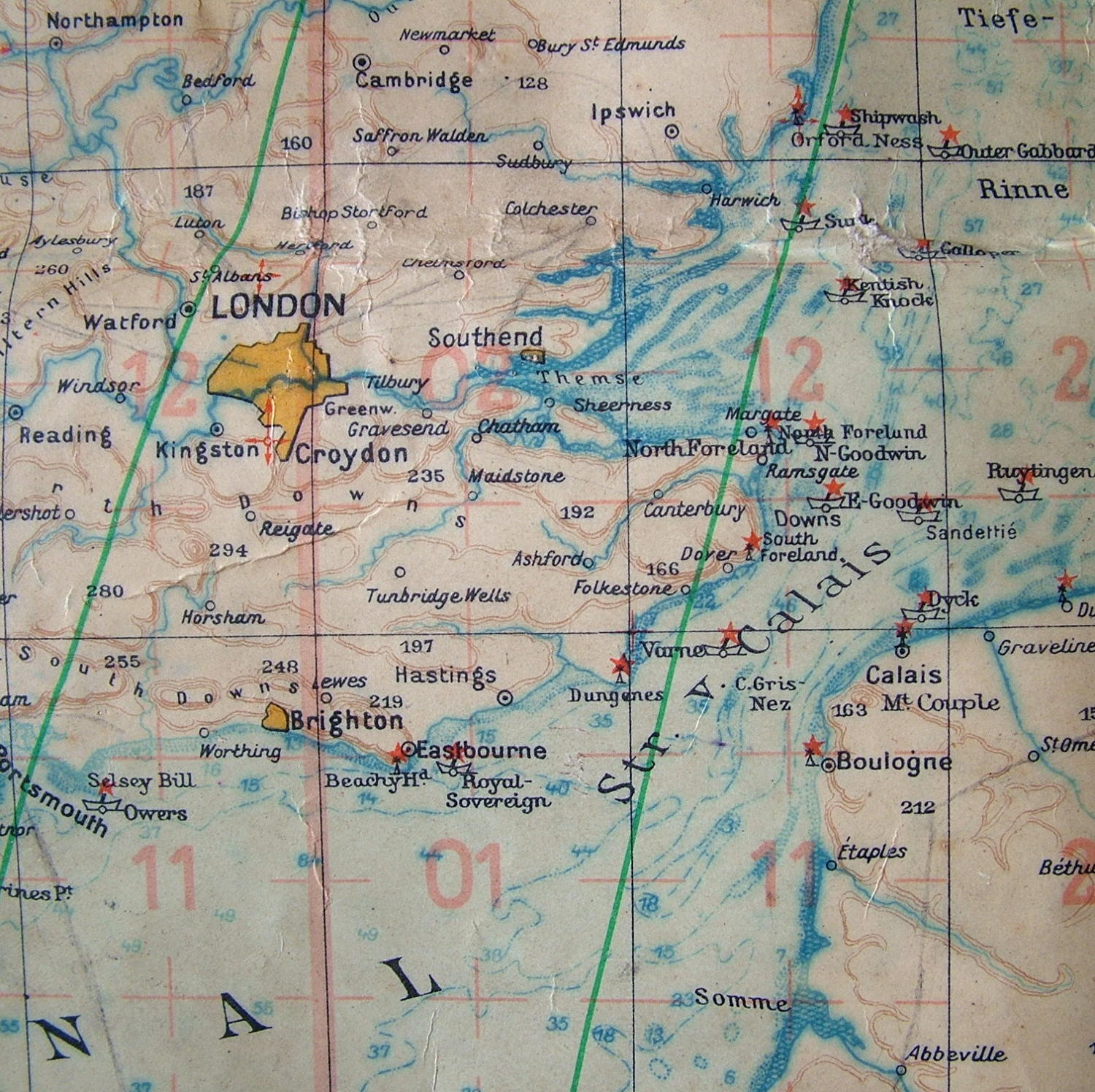
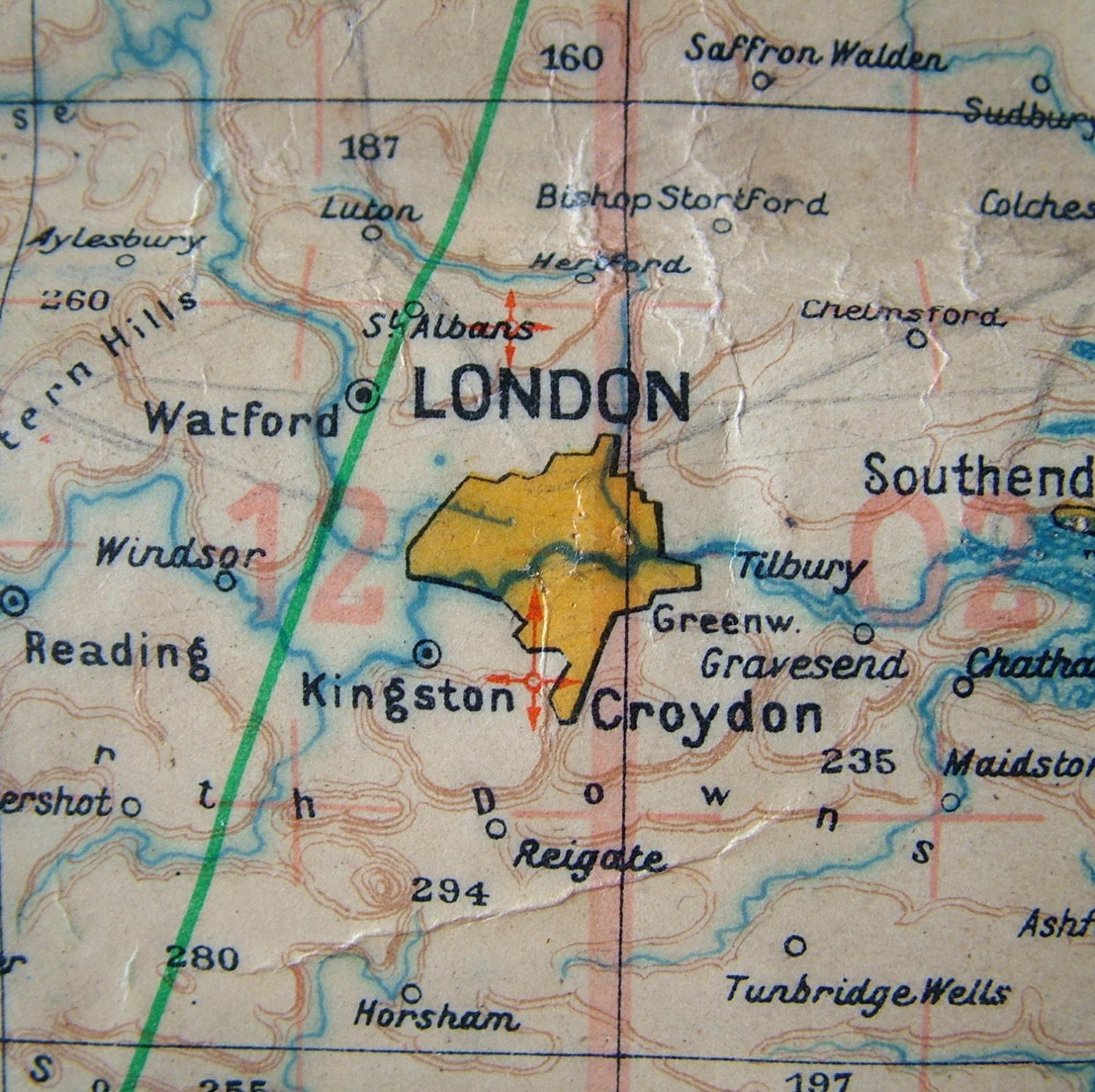
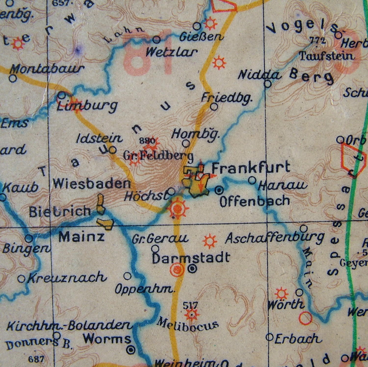
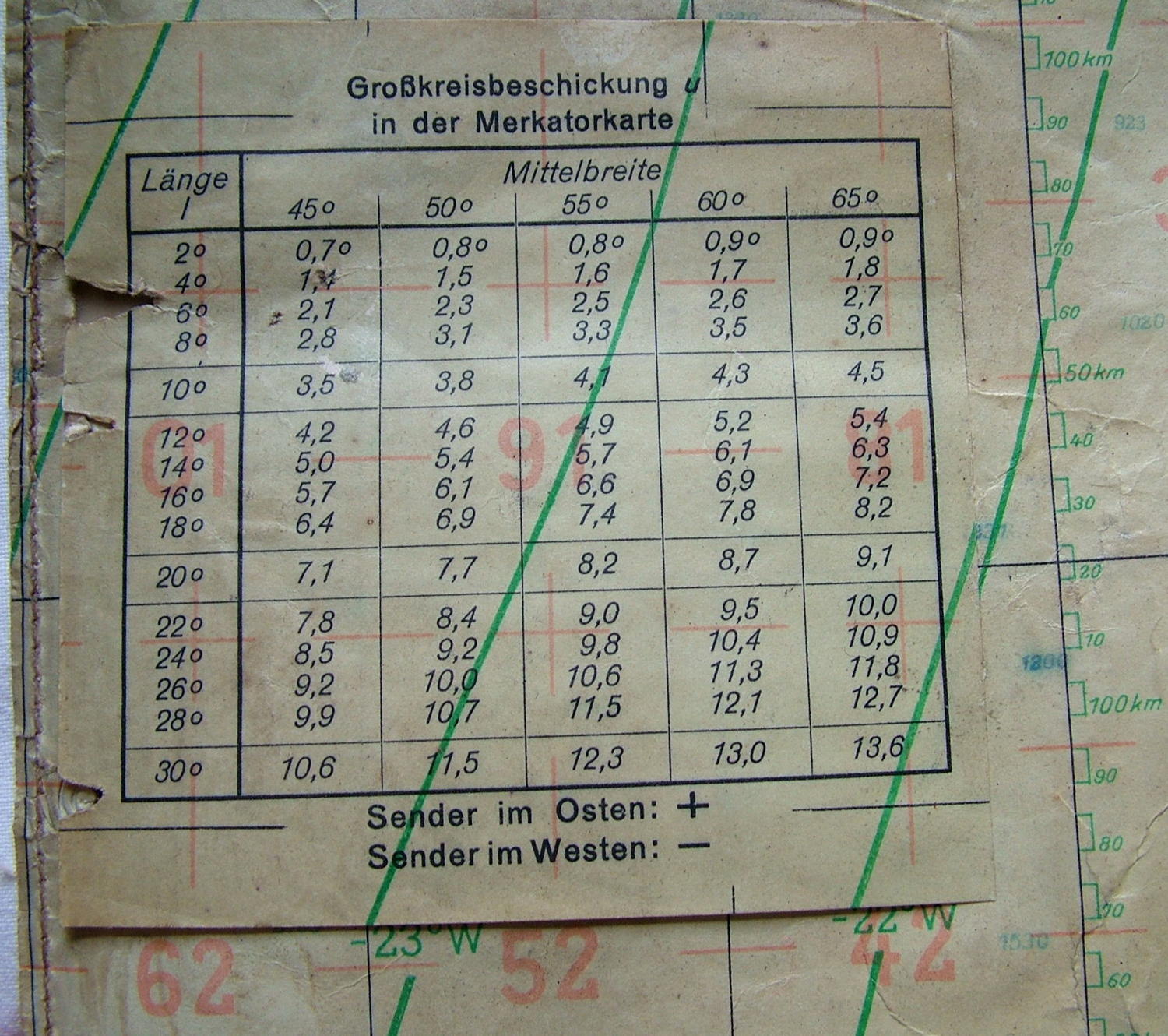
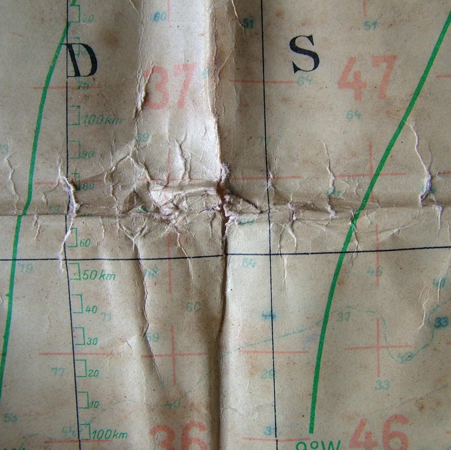
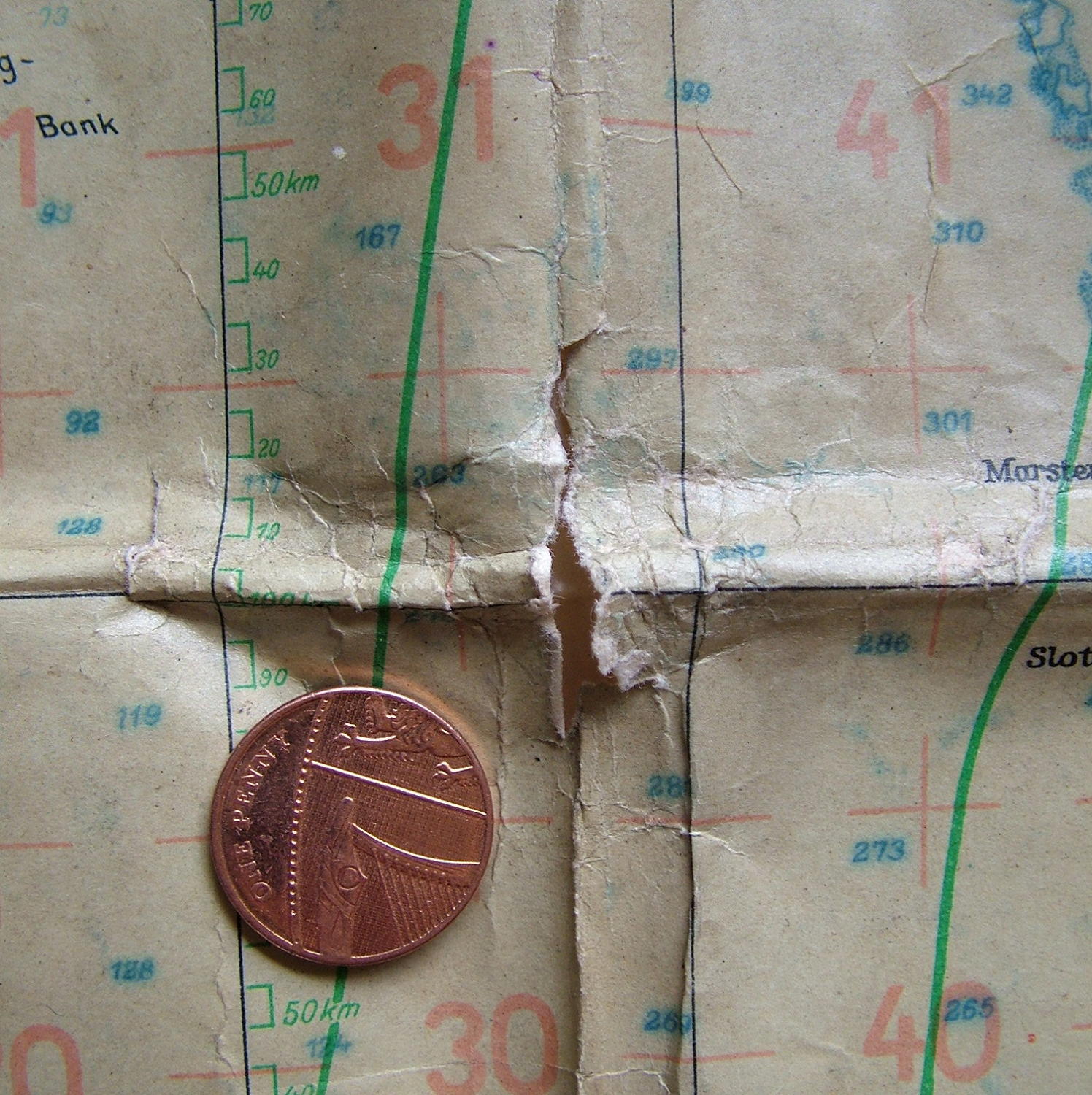
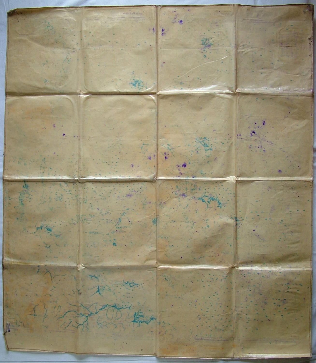
'Luft-Navigationskarte In Merkatorprojektion'. Approximately 91 x 105cm. Scale 1 : 2000 000. Printed on thick plastisized paper with hemmed/stitched edges. Published by the Reichs Luftfahrtministerium, Berlin, 1939. Large single sided map showing all of the British Isles, the North Sea and English Channel, parts of the coastline of Norway, Denmark, Netherlands, Belgium and France. Has Luftwaffe eagles/swastikas printed along the top edge. The map has been folded and is quite heavily creased with some soiling and small areas of damage on some folds. Manufactured at the the beginning of the war and potentially used during the Battle of Britain!. An excellent display piece. Stock code M22642.