Email: david@historicflyingclothing.com
Web site: https://www.historicflyingclothing.com/
|
|
Tel: 01332 345729 Email: david@historicflyingclothing.com Web site: https://www.historicflyingclothing.com/ |
|
Code: P24468
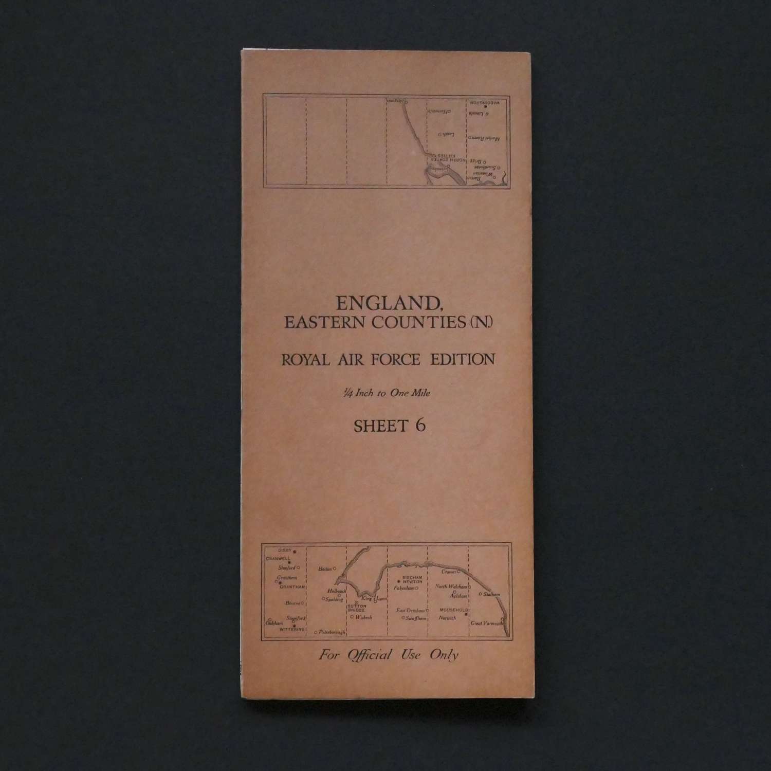
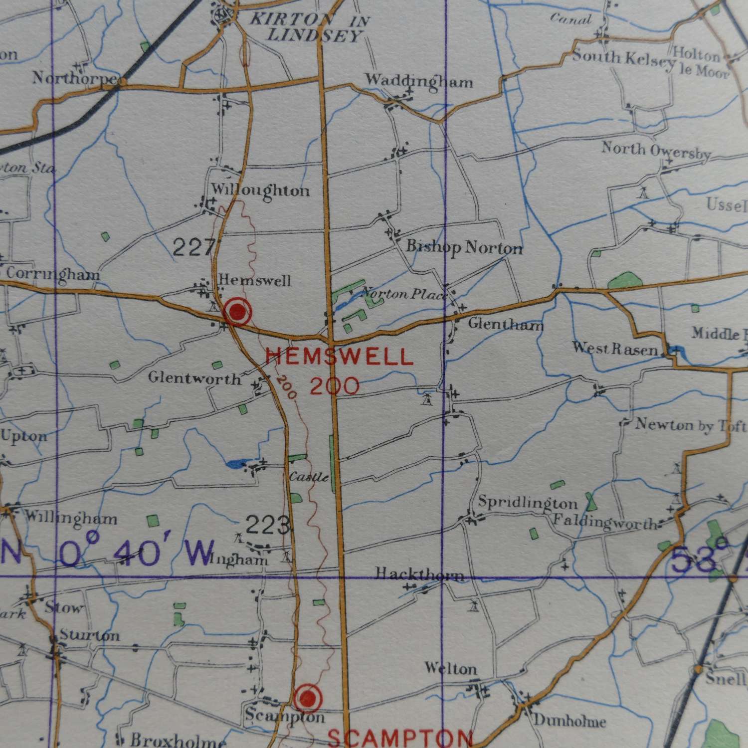
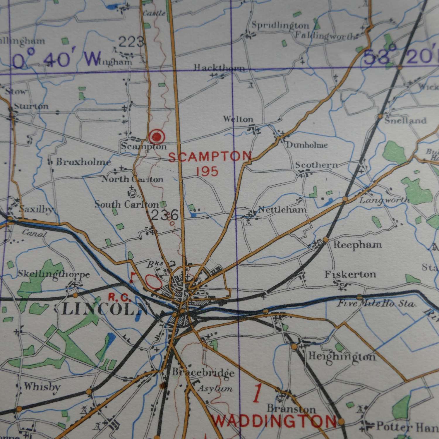
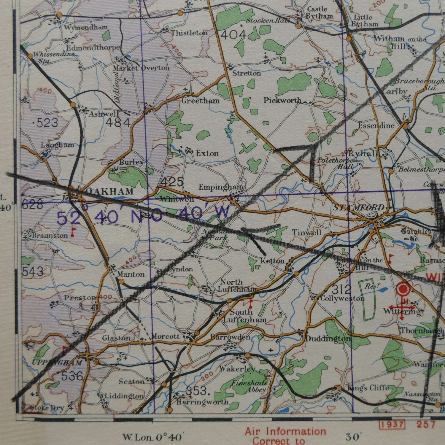
England, Eastern Counties (North), Sheet 6 , R.A.F. Edition dated 1938. 1/4" to one mile. Linen backed paper with card covers. Approximately 70 x 53cm. Shows wartime air bases operational at the time including Cranwell, Sutton Bridge, Norwich, Scampton, Hemswell, Digby, Wittering etc. Folded and creased and has some flight routes marked in chinagraph pencil. Light wear and soiling only. Very good used condition. Stock code P24468.